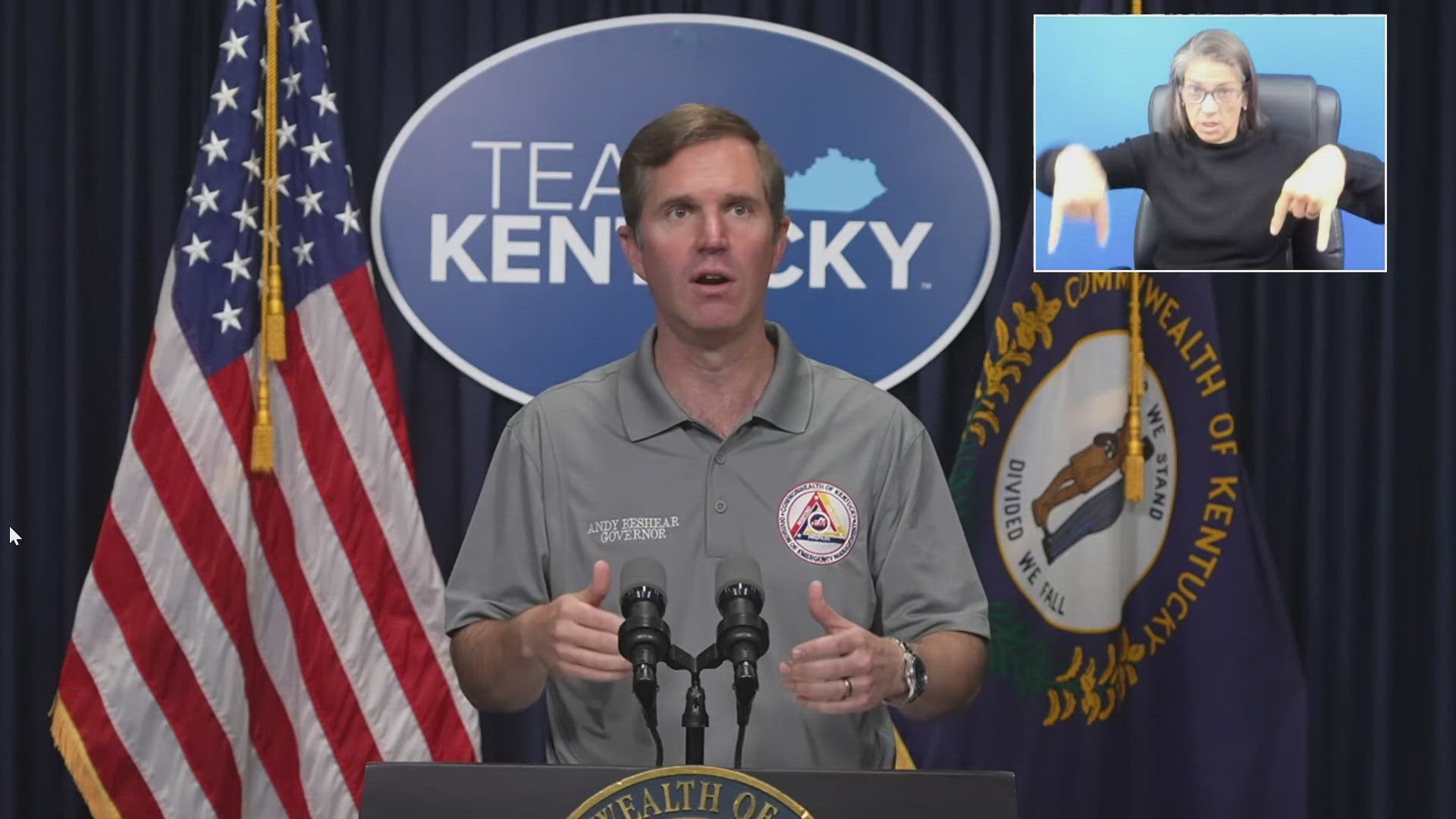
FRANKFORT, Ky. — On Friday morning Gov. Andy Beshear provided updates on how Tropical Storm Helene is impacting the Commonwealth of Kentucky.
Helene made landfall late Thursday night as a major Category 4 hurricane in Florida. By Friday on 7 a.m., Helene was downgraded to a tropical storm with maximum sustained winds of 70 mph over Georgia.
Beshear said about 22,000 homes throughout the state are without power but there are no signs of significant flooding or road closures but he does expect these conditions to change.
"We are at the very beginning. We expect the impacts to get more significant as we move through the day," he said.
State employees were sent home at 10:30 a.m. out of caution for worsening weather.
Beshear did say he did not believe a state of emergency was needed just yet.
"Really what we are looking at in this event is widespread rain and gusty winds," he said.
Rain fall could be between two to five inches across the state through Sunday night. He said Helene could end right over central Kentucky and dump lots of rain into the region.
"We are pretty dry right now which means we can take a lot of this rain but this is a whole lot of rain. So our biggest concerns are flash flooding," Beshear said.
In addition to flooding, high wind gusts are also a concern.
"The most important thing, if you're out there and you're driving, is do not drive through a flooded area, that's how we lose people," Beshear said.
State Emergency management said they were prepared for the storm.
"It's good to know that we made preparations in advance of this storm, we knew this storm was coming, and we're continuing to get updates every two hours," Director of Kentucky Emergency Management Eric Gibson said.
State transportation said they are monitoring issues with debris are out in force to serve.
"This morning Team Kentucky is proud to have some of the best public servants around who are ready to spring into action to keep everyone safe," Mike Handcock from Kentucky Transportation said.

