CLARK COUNTY, Ind. — After severe thunderstorms hit the Kentuckiana area Friday night into early Saturday morning, officials have restored power to hundreds of people in Clark County as the National Weather Service confirms two EF-1 tornados touched down in Kentuckiana.
In a post on Facebook, the Clark County Emergency Management Agency said a severe thunderstorm warning was issued by the National Weather Service (NWS) for portions of the county around 4:30 a.m.
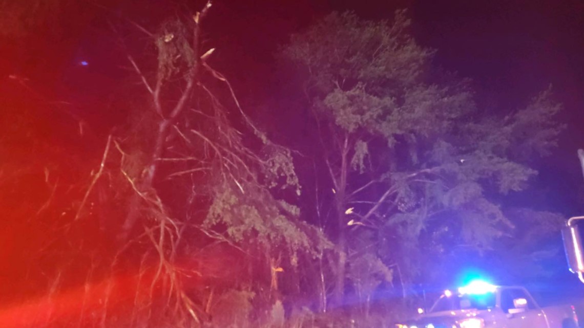
Since 5 a.m., first responders said they have responded to 35 weather related calls for service in the northeastern area of the county, specifically in the Henryville and New Washington areas. They have received reports of trees and power lines down.
Officials said fire and highway department personnel are currently working to clear storm debris from the roads, and utility companies are working to restore power to 113 people. They already restored power to nearly 1,700 people.
In a post on Facebook, Clark County REMS said:
"Our crews are still out and working hard to get everyone’s power restored. The day began with over 1700 members without power and we are down to 113 remaining.
Crews are still dealing with broken poles and fallen trees, but they are committed to getting the lights back on for those remaining families without power.
Reminder: Please Please Please do not attempt to remove any debris from our lines!!
This is incredibly dangerous. We know you are trying to help, but any of those lines could be energized and deadly. Wait for the professionals to arrive.
Thank you to everyone for your patience and words of kindness for our crews working in these dangerous conditions."
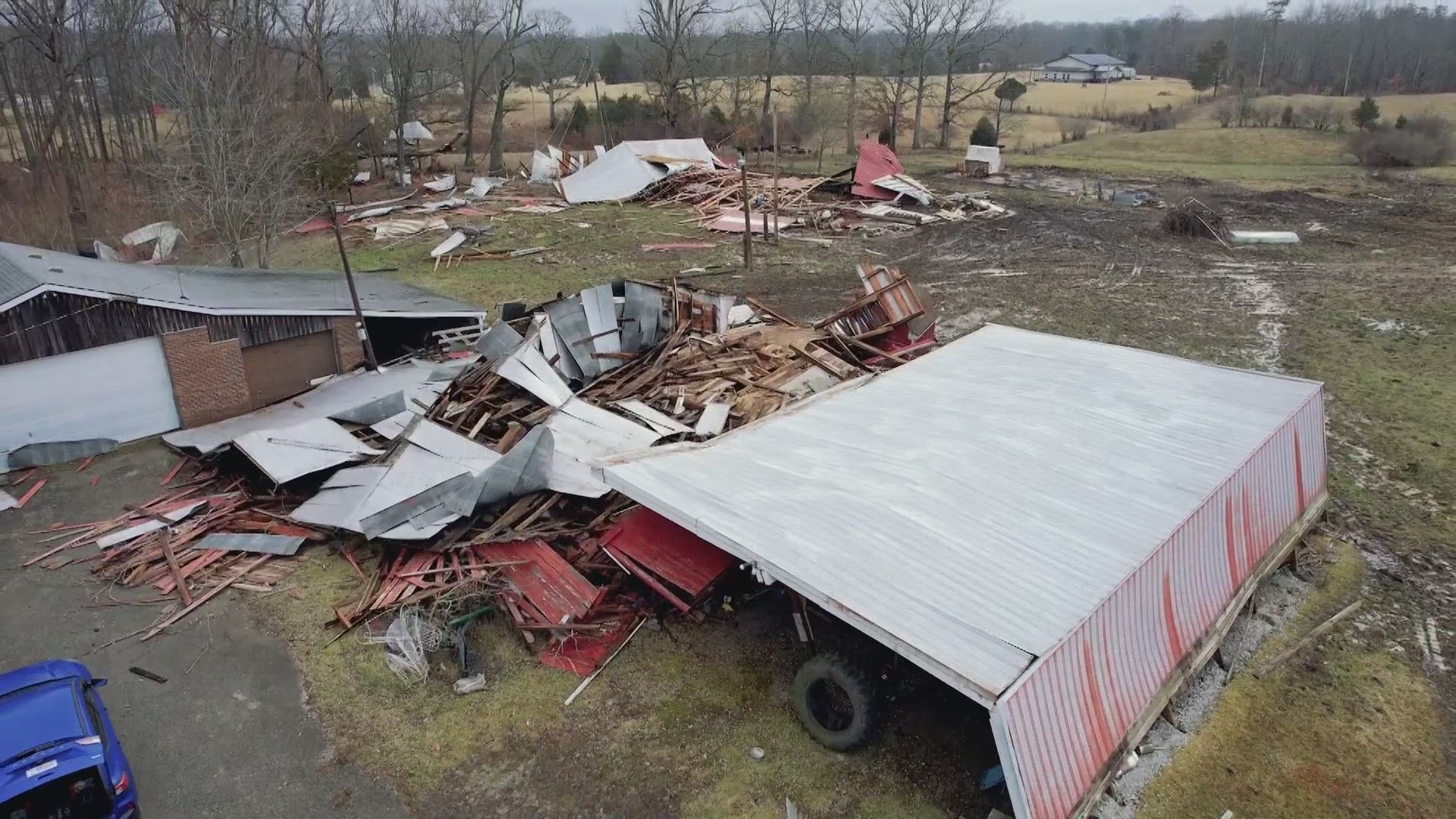
NWS confirmed that preliminary reports showed that an EF-1 tornado touched down in Henryville, Indiana. A seperate EF-1 tornado touched down in North-Central Kentucky Friday night, according to NWS.
Evan Webb, a meteorologist for NWS, said the winds reached an estimated 90 mph in Clark County. He made sure to note that the tornado's rating can change due to them still checking out other locations.
The area also saw a patch of straight line winds that reached 80 miles per hour, NWS meteorologist John Gordon said.
"Well it's a mess here, for sure," he said. "We'd guess [the tornado was on the ground for] 30 seconds to two minutes. Right in there. It happens real quick."
Gordon said the warm temperatures fueled the severe storms, which hit when most people were sleeping.
"It's the worst case scenario, it is. We had December '21 in Mayfield, Bowling Green, things like that. Folks, just have a way to receive your warning," Gordon said. "Be prepared. You never know when this is going to happen. When it gets warm, better have a plan at night."
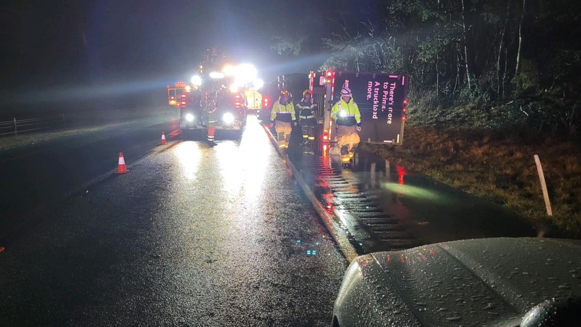
Indiana State Police (ISP) said a truck was turned on its side from the storm on I-65 northbound just north of Henryville.


The right lane of I-65 northbound is currently closed, but officers are directing traffic off at the Henryville exit.
Police said multiple trees are also down along I-65 and U.S. 31.


The NWS also confirmed another tornado in Henry County near Port Royal. They said the tornado had 90 mph peak winds.
Make it easy to keep up-to-date with more stories like this. Download the WHAS11 News app now. For Apple or Android users.
Have a news tip? Email assign@whas11.com, visit our Facebook page or Twitter feed.

