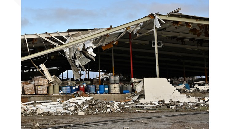
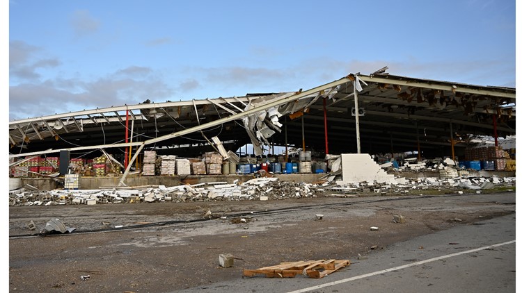
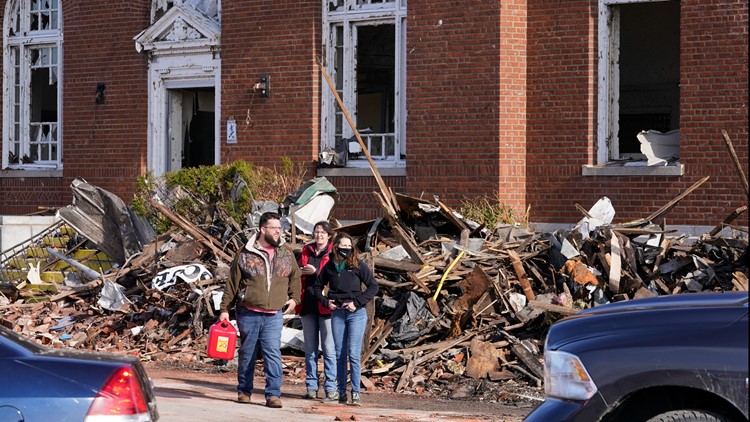
LOUISVILLE, Ky. — Deadly storms producing multiple tornadoes tore across six different states the night of Friday, December 10, through the early morning hours on Saturday, December 11. Kentucky was the worst-hit state as long-track tornadoes hit the highly populated areas of Mayfield and Bowling Green, along with many rural areas.
The deadly Mayfield tornado that hit just after 10 P.M. (EST) was a long track tornado. The NWS stated it traveled 163.6 miles through Kentucky alone. This was the second of the two long track tornado produced by a long-lived supercell.
The NWS said the supercell traveled more than 350 miles. According to NWS preliminary surveys, the first long track tornado started in Arkansas and traveled 80.3 miles through Missouri and into Tennessee. NWS officials said there was an 11 mile break between the two tornadoes.
Video: WHAS11 Live during first tornado warning
The National Weather Service (NWS), located in Paducah, Ky., has been assessing the damage to determine the strength of the tornado along its path. On Wednesday, the NWS said the tornado that traveled from Fulton County to Muhlenberg County has been preliminarily categorized as an EF-4 with an estimated peak wind speed of 190 mph. This area includes Mayfield and Dawson Springs, some of the hardest-hit communities.
The preliminary data provided by the NWS indicates the tornado was at least one mile wide and was on the ground for more than 120 miles. The exact track of the storm is still being evaluated.
After 2 A.M. (EST), a deadly tornado moved through Bowling Green. This was not the same tornado that impacted Mayfield. The NWS, located out of Louisville, Ky., found in its preliminary surveys that the storm fluctuated between an EF-1 and EF-3 as it moved through the city. Wind speeds reach at least 155 mph. The NWS stated the tornado grew from 250 yards wide to 1/4 mile wide near Veterans Memorial Dr.

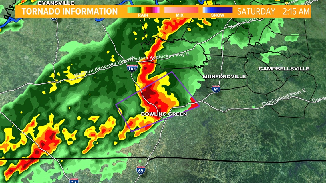
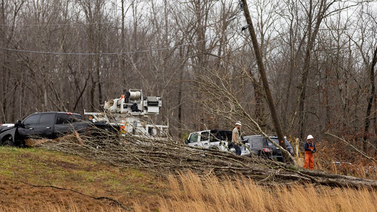
There was significant damage to the Creekwood subdivision, located on the southwest side of Bowling Green. The survey stated hundred of homes were damaged, hundreds of powerlines/power poles were downed and snapped, and there was significant tree damage.
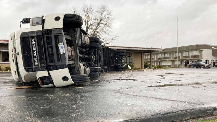
The NWS said the tornado pushed a fully loaded 18 wheeler was 15 yards, and the corvette plant sustained significant damage. The survey stated debris from the plant was thrown hundreds of yards.
Survey teams are still assessing the damage in Bowling Green, and new information will unfold over the next several days.
The same storm that produced the historic long-track Mayfield tornado also dropped a tornado that tracked through Ohio, Breckenridge, and Grayson Counties, starting around midnight. The NWS is still assessing the damage, but preliminary data shows an EF-3 tornado touched down near Hartford, Ky. It decreased intensity to an EF-2 near Olaton, KY. The tornado was an EF-1 as it continued into the area near Falls of Rough, Ky. between 12:41 A.M. and 12:45 A.M.
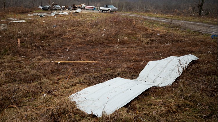
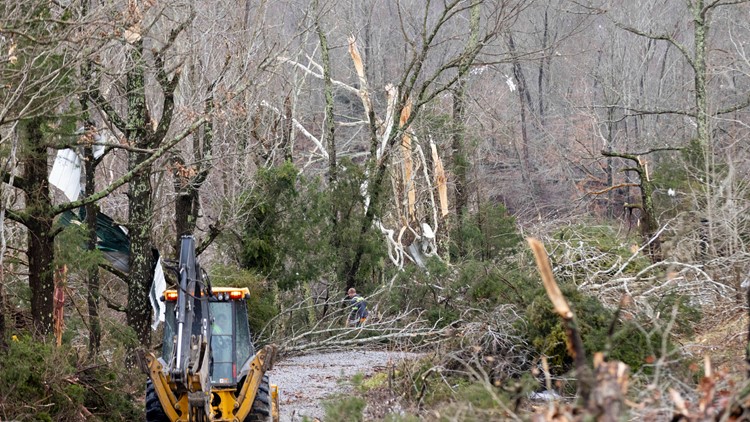
In Falls of Rough, the NWS said the tornado tracked across Highway 110. The survey stated that over a hundred trees sustained severe damage, from being snapped or uprooted. Debris from a heavily damaged boat facility was tossed 300 yards. According to the NWS was 150 yards wide and produced wind speeds up to 105 mph.
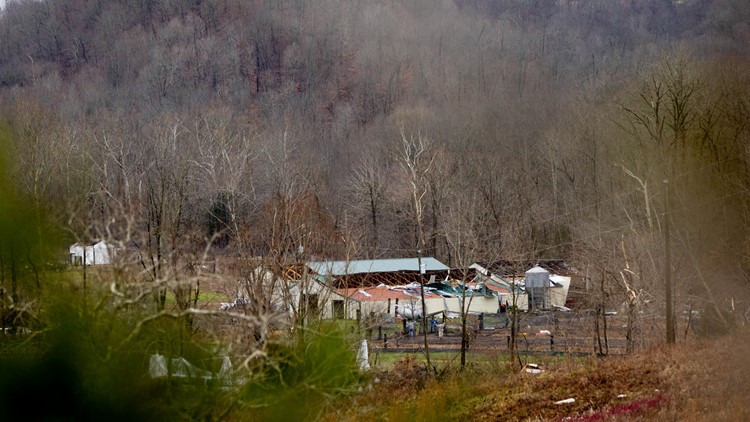
The same storm produced a tornado in Spencer County, about three to four miles Southwest of Mt. Washington, Ky. The NWS survey states that the tornado started around 1:51 A.M. and ended around 1:53 A.M. traveling 1.5 miles to the northeast. It produced wind speeds up to 95 mph and was 100 yards wide.
According to the NWS, the damage started at Old Louisville Rd. The report states silos were knocked over and a barn had collapsed. There was also reported damage to an outbuilding and trees at Max Rouse Rd.
The storm the produced the Bowling Green tornado also dropped a tornado in Hart County. The NWS said in a survey the tornado started as an EF-1 in Horse Cave, Ky. at 2:51 A.M. After traveling 8 miles northeast it ended as an EF-2 tornado in Hardyville, Ky. at 3:03 A.M.
The survey reported 1 injury. It produced wind speeds up to 115 mph and was 200 yards wide.
The NWS reported damage to a barn, massive tree damage, roof damage, and second stories of many homes were removed. In Horse Cave, the NWS said buildings had sides blown and major roof damage.
The storm then tracked to the northeast, wherein a preliminary rating the NWS stated an EF-3 tornado touched down in Taylor County that killed one person just before 2 A.M. While the NWS has not released its complete survey, it stated the tornado produced wind speeds of 140 mph.

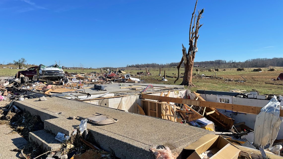
Meteorologist Alden German was with the NWS during the survey on Sunday. German said the tornado leveled homes and severely damaged others.
The NWS said survey teams will take days to assess the damage and other areas hit by tornadoes across Kentucky.
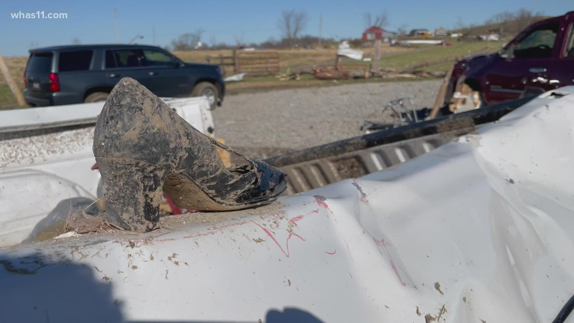
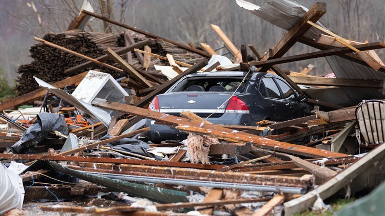
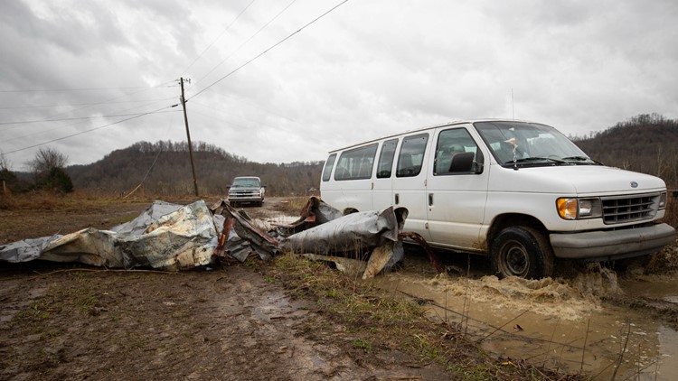
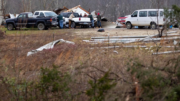
PHOTOS | Kentucky tornado damage
Make it easy to keep up-to-date with more stories like this. Download the WHAS11 News app now. For Apple or Android users.
Have a news tip? Email assign@whas11.com, visit our Facebook page or Twitter feed

