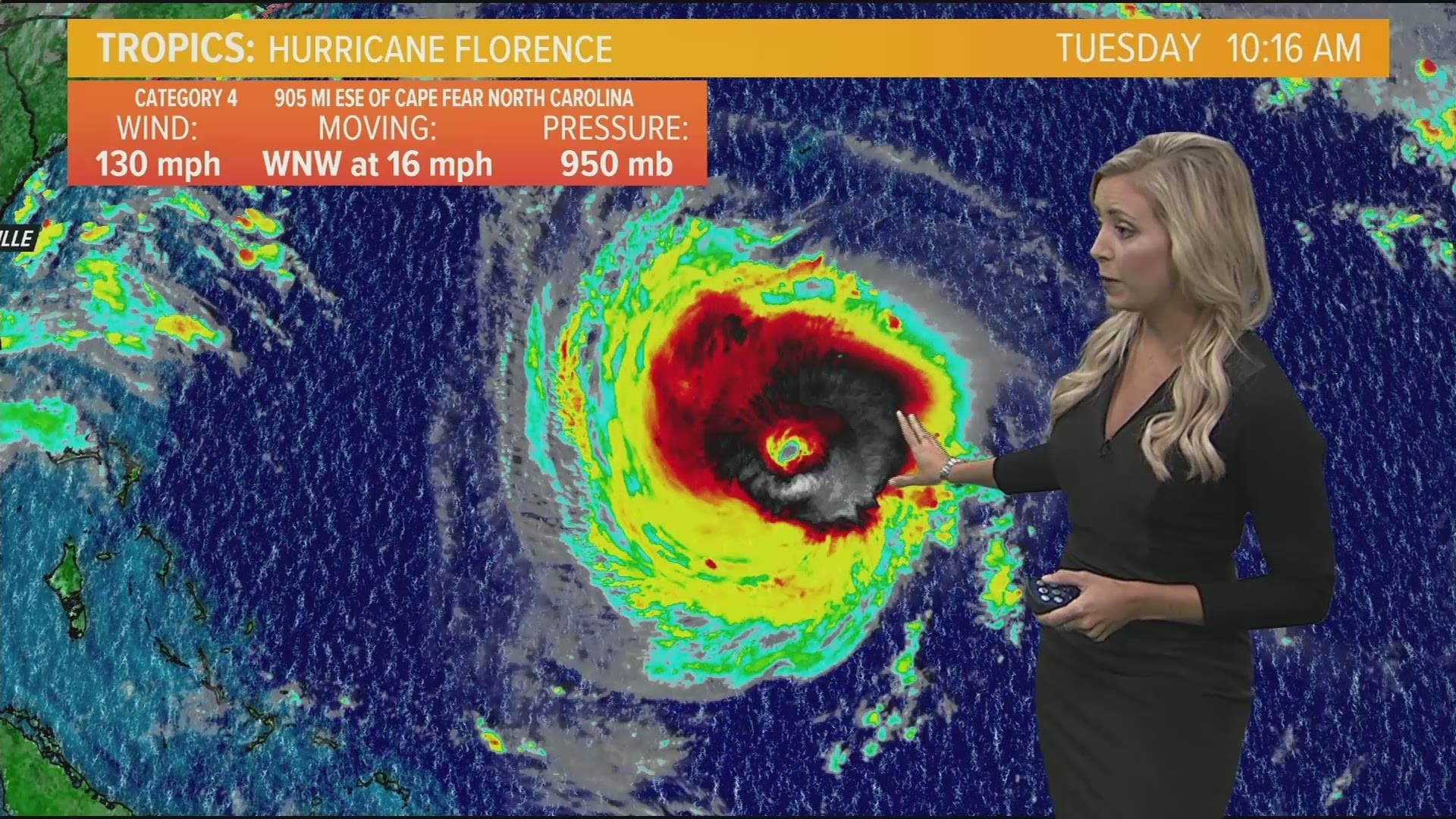
Tuesday 3:00PM EST:
Hurricane Florence is a major category 4 hurricane approximately 850 miles ESE of Cape Fear, North Carolina. The storm is expected to strengthen as it moves northwest towards the continental United States.

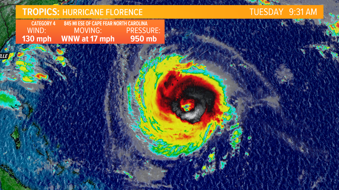
This storm will bring extremely strong winds, high storm surge and heavy rainfall to the coastlines of North and South Carolina. Hurricane Florence is expected to make landfall late Thursday evening into early Friday morning.

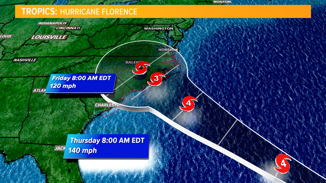
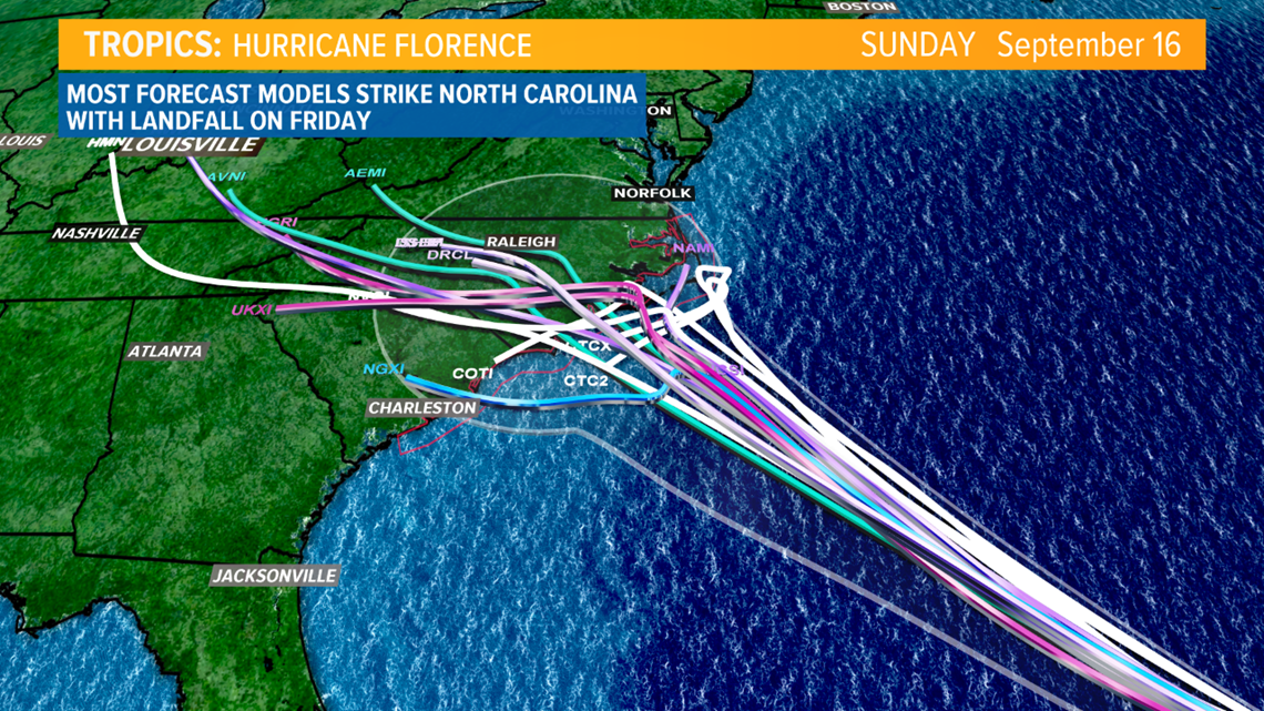
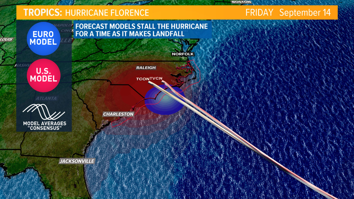
The latest model guidance has Florence making landfall near Wilmington, NC, but could churn off the Carolina coast line for days. This would bring torrential downpours and pummeling hurricane force winds to coastal towns and also those further inland.

Rainfall may total more than 2 feet in places and could cause life-threatening flash floods. More inland areas may see upwards of 1-2 feet of rainfall over the course of a few days.


Storm surge from Hurricane Florence will be a major issue for any low-lying communities on the Carolina coastline. Coastal areas in Virgina and South Carolina could see anywhere from 1-6 ft of storm surge while areas along the North Carolina shores could receive up to 9ft.


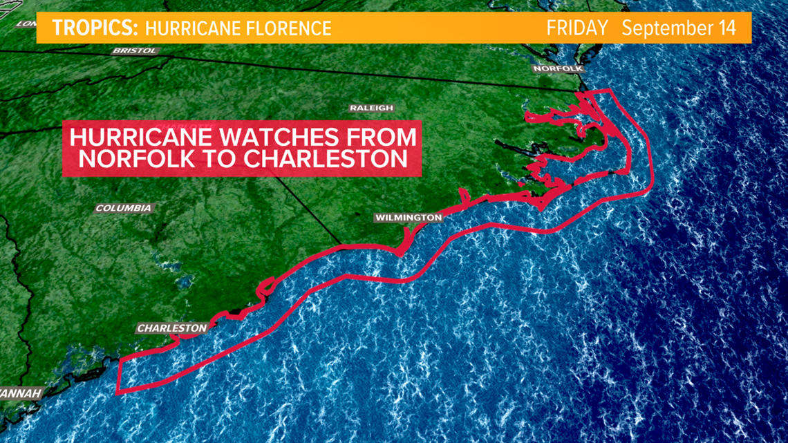
Hurricane Watches have been issued from Norfolk, VA all the way to Charleston, SC. The Governor of North Carolina has issued a mandatory evacuation for island communities. South Carolina's Governor has issued a mandatory evacuation of coastal communities as well.

The GFS and European models do slightly disagree as to what Hurricane Florence will do once it reaches the coast. After a brief stall on the coast, the GFS model takes the storm inland and it gradually weakens. The European model takes the storm down the coastline towards Charleston for a "second landfall" of sorts. This would bring even more rain, wind and flooding to South Carolina.

We will continue to provide the latest guidance on Hurricane Florence as it approaches the U.S.

