LOUISVILLE, Ky. — It’s hard to believe we are just days away from the end of January and snow lovers across Kentucky and Southern Indiana may be a little disappointed by the minor snow makers so far this winter but remember that on average February produces more snow than any other month of the year.
That being said, we’ve got a mid-level wave that is literally going to hit and run through our area on Wednesday and these typically don’t produce large amounts of snow. I guess looking at the glass half full, a little snow is better than no snow if you are hoping for it.
Now to the particulars…we are basically looking at a roughly 6 to 8-hour window where light to moderate snow should fall around the area. This should occur from mid-afternoon to mid to late evening and then boom…it’s gone just that quickly!


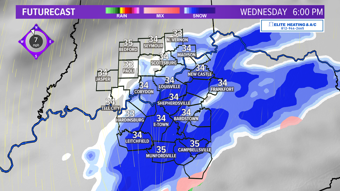

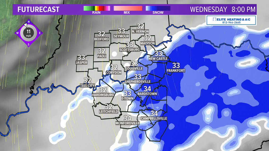

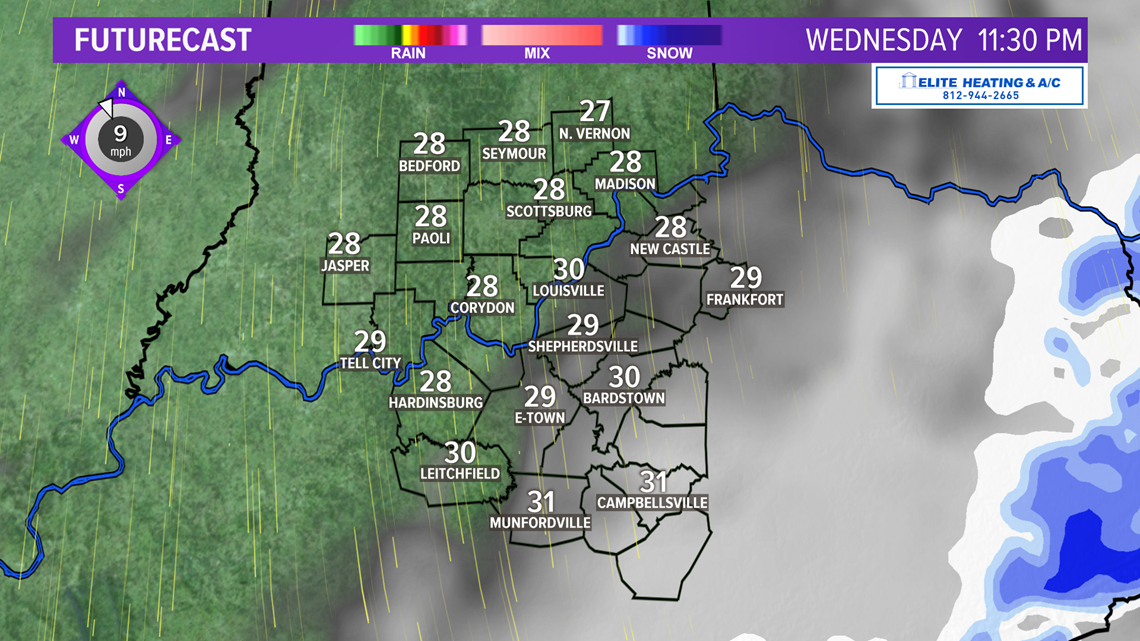
As far as totals, most spots across Kentuckiana should see up to 1” of snow. Of course, a few locations will be under that and a few could be closer to 2”, especially where we see a heavier burst of snow. The model data varies on totals with the GFS maybe a little overly aggressive with where we end up.

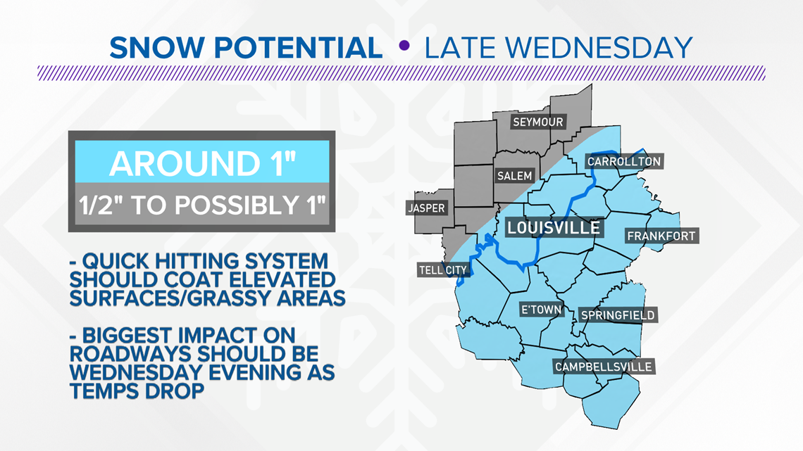
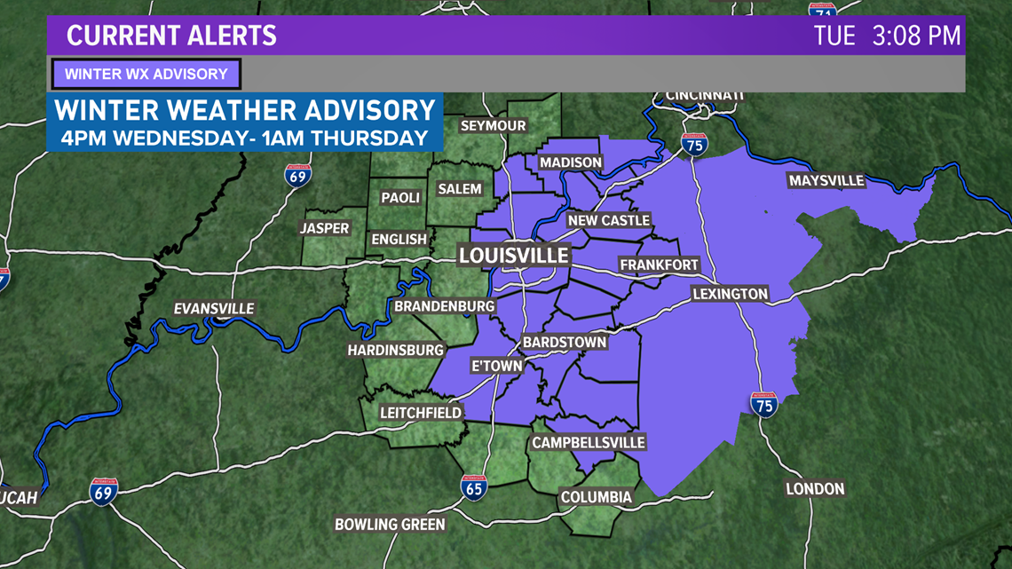
The biggest issue as far as travel will come after dark on Wednesday evening as the snow could cover some of the roadways and make things a bit slick so keep that in mind. Even with though the snow will be long gone, and roadways should be dry by the Thursday morning commute, there still could be a lingering slick spot or two given that temperatures will be in the low and mid-20s by then. A Winter Weather Advisory is out for parts of the viewing area from 4pm Wednesday until 1am Thursday.

Our next storm system arrives this weekend with just wet weather, so enjoy the quick shot of some light snow on Wednesday. Stay with the WHAS11 First Alert Storm Team by on-line and on-air for the latest.

