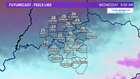

LOUISVILLE, Ky. — A true blast of Arctic air will arrive overnight bringing the coldest air in over a year. The last time we were below zero here in Louisville was early January of 2018, and the last recorded temperature BELOW zero was in late February of 2005. Given the recent trends of temperatures with the model data, we should fall just short of eclipsing these marks here in Louisville, but a few locations outside the metro could make a run at these readings. What will make this cold snap particularly dangerous will be the fact that winds out of the west at 15 to 20 miles per hour at times combined with single digit air temperatures will knock our wind chill factors down into the -15 to -25 degree range into early Wednesday morning depending on your location across Kentuckiana.
Give the extreme wind chills expected across Kentuckiana, a number of school systems, including Jefferson County Public Schools have cancelled classes for Wednesday.
Below is the criteria for our area for the National Weather Service to issue advisories and warnings relative to wind chill factors.

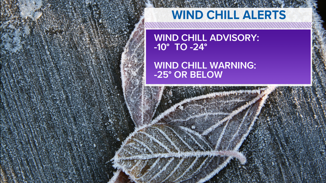
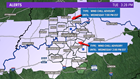
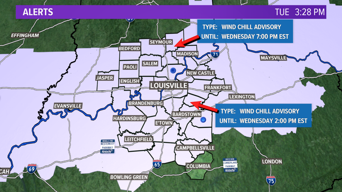
Because of the dangerously low "feel like" temperatures into early Wednesday, there is a Wind Chill Advisory out for much of Kentuckiana into Wednesday afternoon for our Kentucky counties and into Wednesday evening for areas north of Louisville into Southern Indiana. You'll definitely want to dress in layers and limit your time outdoors. Exposed skin can become frostbitten in a short amount of time.
Our coldest morning as far as air temperatures may actually be on Thursday morning as the Arctic high pressure center settles over the Great Lakes. The good news is that winds will die down so wind chill factors will not be as extreme. A mid-level wave could potentially throw some high clouds our way so we may end up with low to mid single digits to kick off Thursday, however any breeze at all will keep our feel like temperatures in the 0 to -5 degree range.
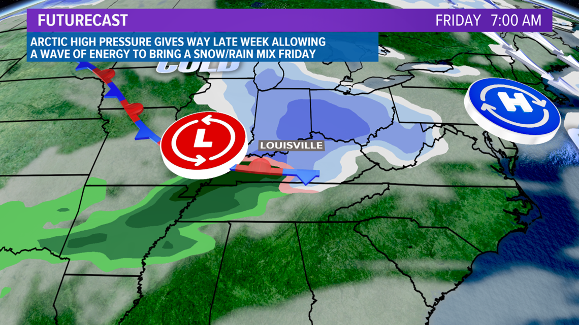
A more significant wave of low pressure will head our direction to close out the week, so with winds shifting to the south, temperatures should actually rise into Friday morning but shouldn't make it above freezing until after sunrise so light snow will be possible with some accumulations on the table right now before we see a changeover to rain on Friday.
Of the the weather is always interesting here in Kentuckiana and if you don't like it...just wait a few days and it will change. This week is going to be a classic example as the cold air will be replaced by a milder air mass very quickly. High pressure will move out in the Atlantic, allowing a return flow to pick up out of the southwest. Temperatures will climb just above average into the weekend and by Sunday and Monday...highs may actually top the 60 degree PLUS!!! Yes you read that's correct...60 degrees plus!


Stay with the WHAS11 First Alert StormTeam for the latest on the bitter wind chills that will impact Kentuckiana into the mid-week!
Meteorologist T.G. Shuck