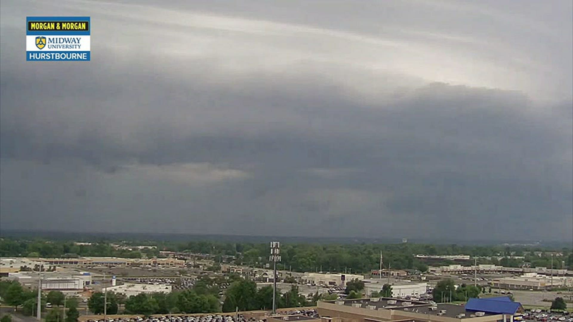
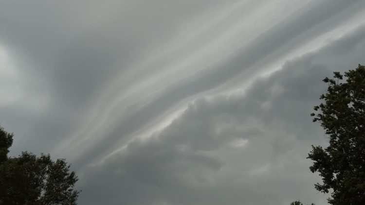
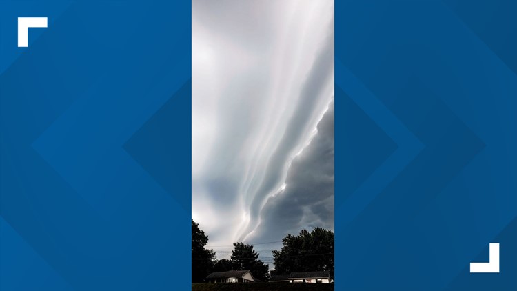
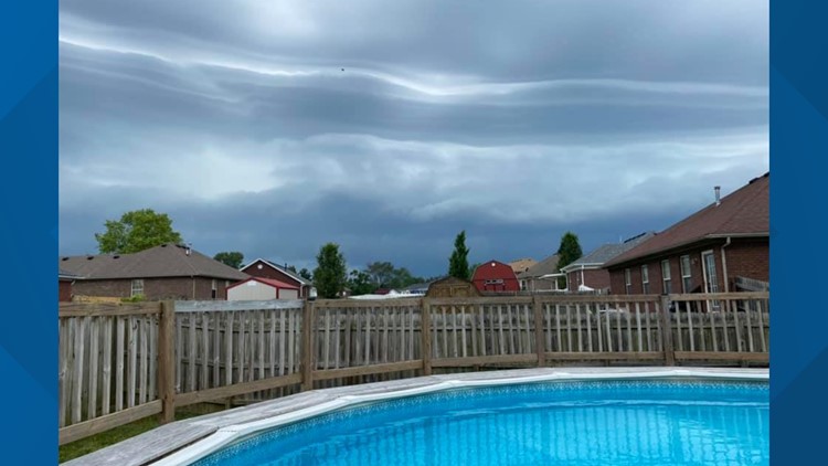
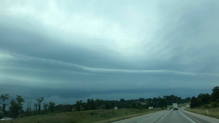
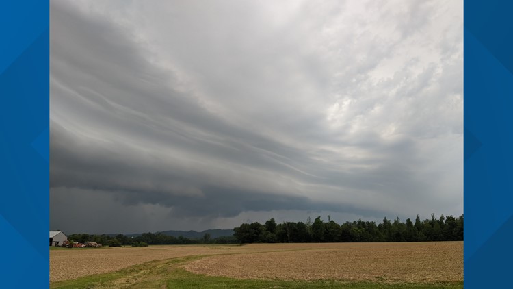
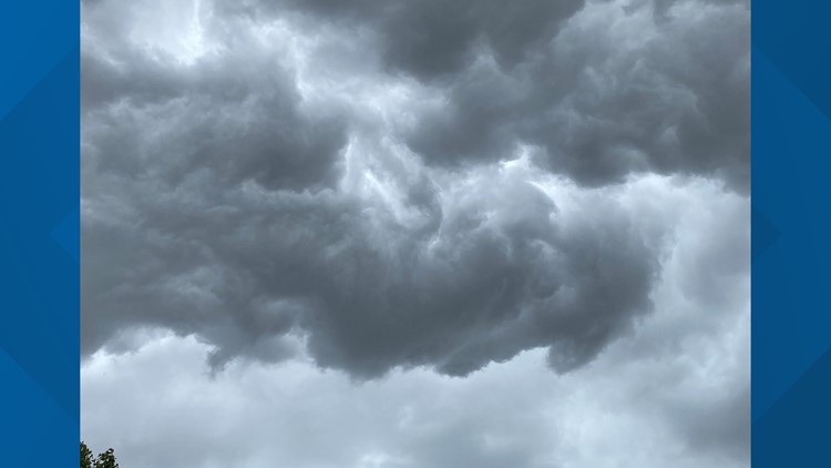
Father’s Day 2020 was a wet and stormy day (thanks Mother Nature), but it featured some awesome cloud formations that really captivated residents across Kentucky and southern Indiana. This ominous looking cloud is really nothing unusual, but it certainly grabs your attention.
Multiple viewers sent the WHAS11 First Alert Storm Team photos of a large, wavy cloud that looked like a giant wall in the sky. This phenomenon is known as a shelf cloud but is often mistakenly referred to as a wall cloud. Both are associated with thunderstorms. Shelf clouds are low to the ground and have very well-defined shapes. We have a gallery at the bottom of this article.
Shelf clouds are formed along the leading edge of a outflow boundary from a thunderstorm. Outflow boundary (also referred to as a ‘gust front’) is a wall of dense rain-cooled that hits the surface and then extends out ahead of a thunderstorm (this is referred to as a thunderstorm’s ‘cold pool’). Their size often depends on the size of the storm - in today’s case a decent line of thunderstorms – as well as how much moisture is available to condense into clouds.

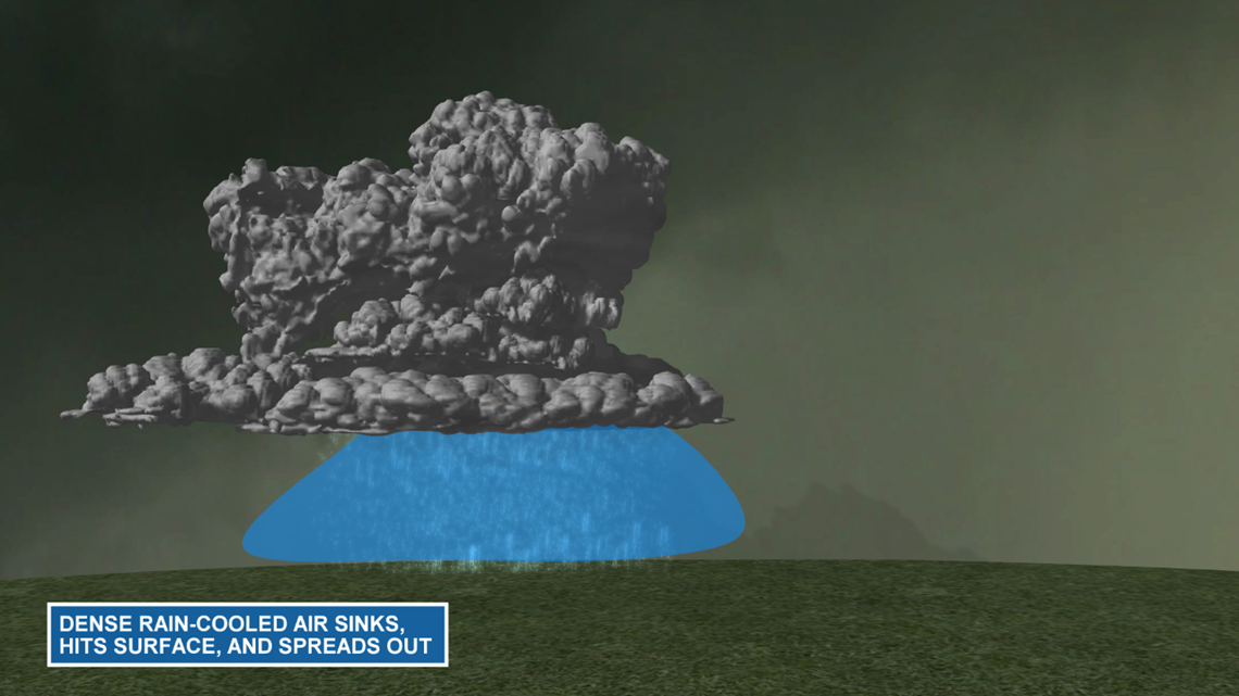
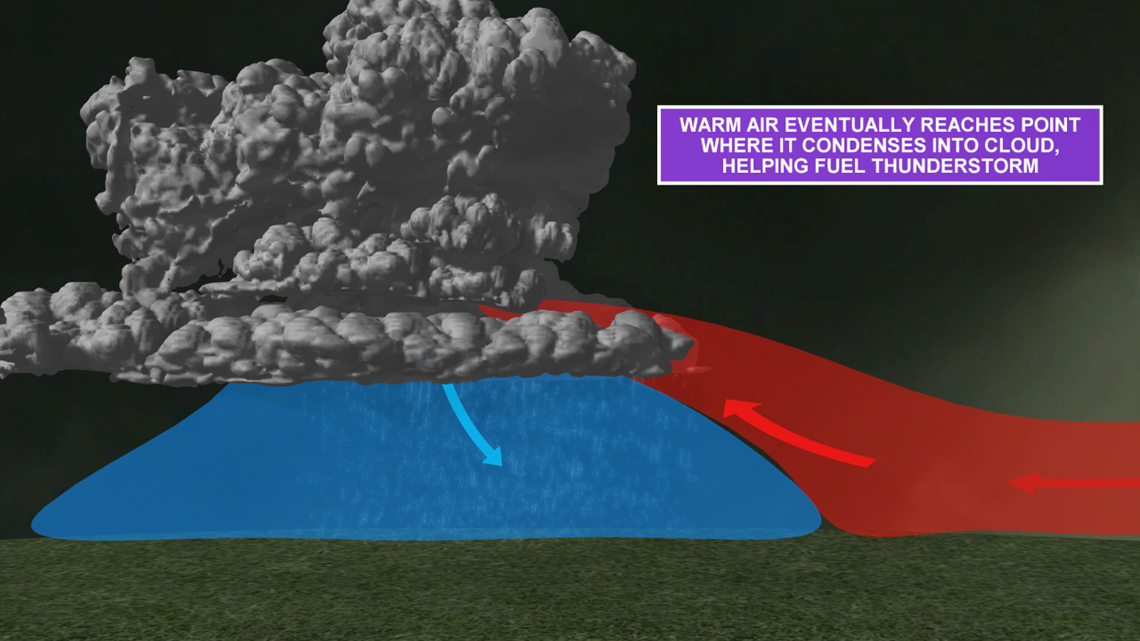
Cold air is denser than warm air, so as the outflow moves ahead of its parent storm it forces warm and moist air up into the sky. Imagine pushing an upside-down shovel in the snow.

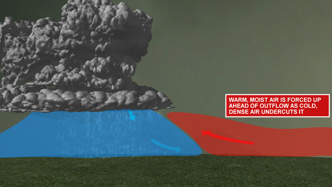
This warm, moist eventually reaches a point above the outflow boundary where it cools enough to condense into a cloud, creating that awesome looking cloud formation.

RELATED: What is a virga? | Weather Wise
It’s a delicate balance. Thunderstorms need warmth and moisture in order to survive, so this outflow boundary can help keep thunderstorms healthy but continually feeding it a source of energy. On the other hand, it can kill a storm if the outflow races too far ahead of the storm and closes off that energy source.
Shelf clouds themselves are not inherently dangerous, but they do signal that a thunderstorm is on the way. If you see a shelf cloud, feel free to snap a picture, but also get to shelter because heavy rain, gusty winds, and lightning and thunder are likely soon to follow.
Have cloud pictures you’d like to share? Join the Kentucky/Indiana: Cloud Watchers page on Facebook, or email them to yourphotos@whas11.com
Happy cloud gazing!
PHOTOS | Viewer photos of shelf cloud across Kentuckiana June 21, 2020
Meteorologist Alden German
Facebook: Facebook.com/AldenGermanWX | Twitter: @WXAlden
►Make it easy to keep up-to-date with more stories like this. Download the WHAS11 News app now. For Apple or Android users.
Have a news tip? Email assign@whas11.com, visit our Facebook page or Twitter feed.

