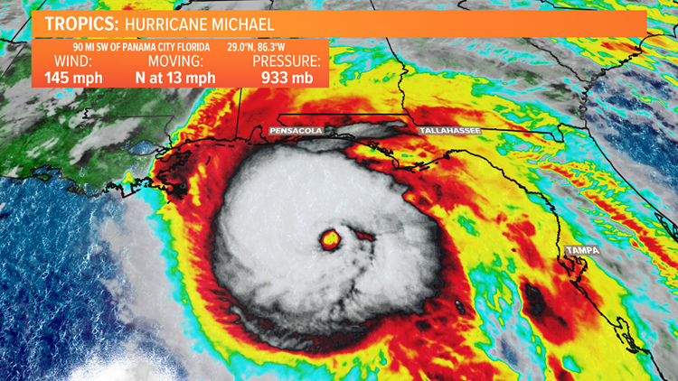
Hurricane Michael continues to churn and gained strength in the warm Gulf of Mexico waters during the early part of this Wednesday. As a result, Hurricane Michael is now an extremely dangerous Category 4 storm. This hurricane, which just a few days ago was a disturbance that had the possibility of becoming a tropical system has grown into a potentially devastating hurricane in a short period of time.

As mentioned, Michael is now a Category 4 hurricane with maximum sustained winds at 145 miles per hour with higher gusts as of the 8 AM EST advisory Wednesday morning. Michael is expected to make landfall along the Florida Gulf Coast sometime Wednesday afternoon while maintaining Category 4 hurricane status.
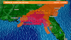
The forecast track continues to take the center of Michael at landfall very close to Panama City, Florida but of course the entire Florida panhandle and interior sections of North Florida, Southeast Alabama and Southwest and Central Georgia will feel significant impacts from the hurricane, even after it begins to weaken after landfall. Isolated tornadoes along with very high winds and heavy rain will be possible in those areas, so Hurricane and Tropical Storm Warnings are up well inland.

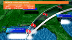
After landfall on the Florida Gulf Coast, Hurricane Michael will track inland and be impacted by the big trough pushing into the Eastern U.S. which will help to steer it northeastward toward the Carolinas following landfall.
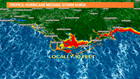

The storm surge (the combination of the rise in ocean water along the coast driven by the high winds of the hurricane) is expected to be potentially be greater than 10 feet in spots, especially in the Big Bend area of the Florida Gulf Coast. This could be life threatening for those areas that receive the significant storm surge. A State of Emergency declaration has been issued by Florida's Governor Rick Scott in advance of Hurricane Michael and mandatory evacuations have been issued for coastal communities.

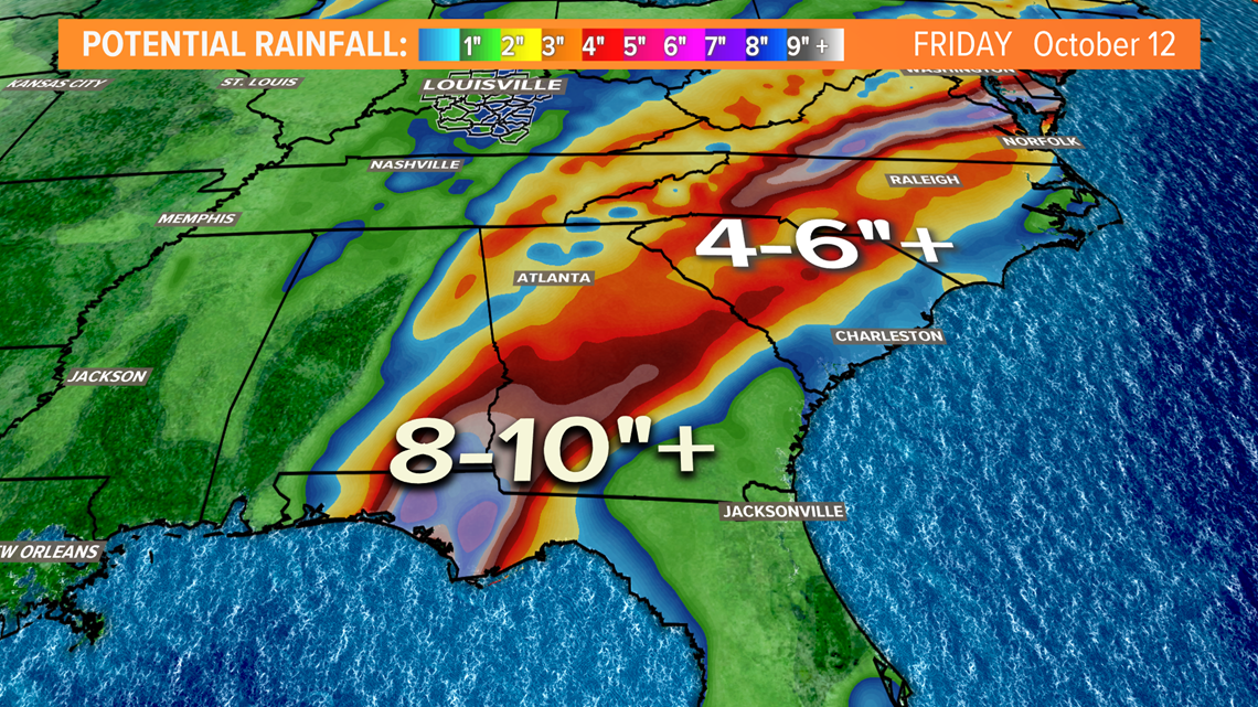
Hurricane Michael will bring heavy rainfall to the Florida panhandle and areas inland as it tracks over Georgia and the Carolinas. Unfortunately, the last thing the Carolinas need is additional rainfall after the catastrophic flooding from Florence not long ago. Flash flooding will be a major concern with areas along the coast receiving anywhere from 8-10 inches of rain with areas inland receiving anywhere from 4-6 inches. One bit of good news is the fact that the system will not linger over any particular area (unlike Harvey and Florence) so the heavy rainfall should last for an extended period of time.
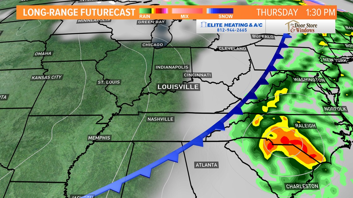
A cold front moving through Kentuckiana late on Wednesday will keep Michael out of our area and help it move off to the eastern seaboard.
We will continue to monitor Hurricane Michael throughout this Wednesday and bring you the latest information online and on air on WHAS11.