Anyone who lives in or is visiting the Florida Panhandle has run out of time to evacuate. State leaders ask anyone who hasn't already evacuated to stay in place. Major Hurricane Michael is likely to retain its strength by the time it makes landfall.
As of the National Hurricane Center's latest advisory, Michael is an "extremely dangerous" Category 4 storm with maximum sustained winds of 150 mph -- and even higher gusts. Forecasters say it could gain even more strength before it makes landfall sometime during the day.
As of 11 a.m., Michael was about 60 miles south-southwest of Panama City, Florida.
Hurricane center forecasters issued a hurricane warning from the Alabama/Florida border to the Suwannee River. In addition, a storm surge warning is in effect from the Okaloosa/Walton County Line to the Anclote River.
Spaghetti models of Hurricane Michael
Each line represents a computer model's best "guess" of where the center of the storm will go. Together, they look like "spaghetti." Remember, impacts from a tropical system can and do occur miles away from the center.

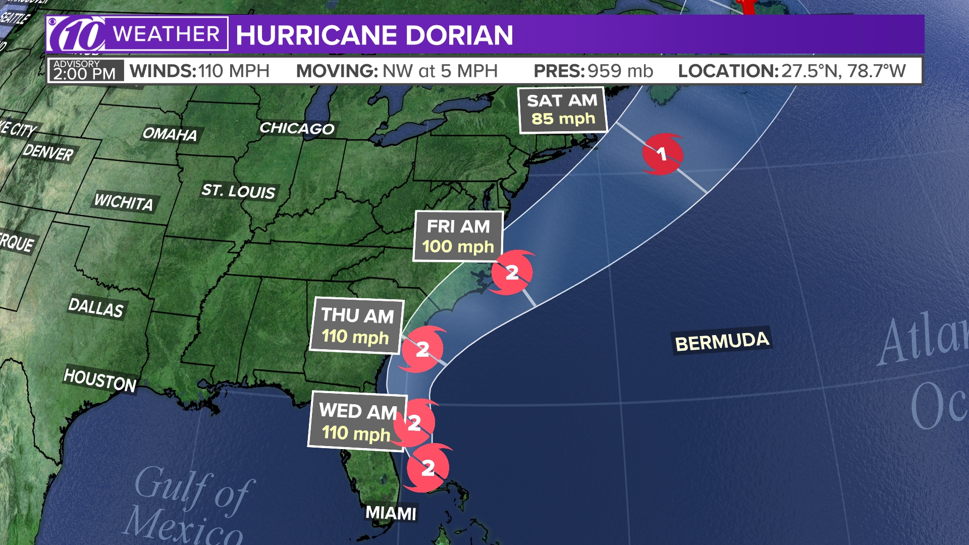
Position and forecast cone of Hurricane Michael
This is a map showing the forecast cone for Hurricane Michael, which strengthened from a tropical depression.

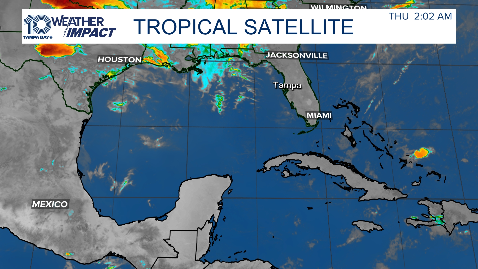
Satellite and radar
The latest satellite and radar image for the Gulf of Mexico, Caribbean Sea and Atlantic Ocean.

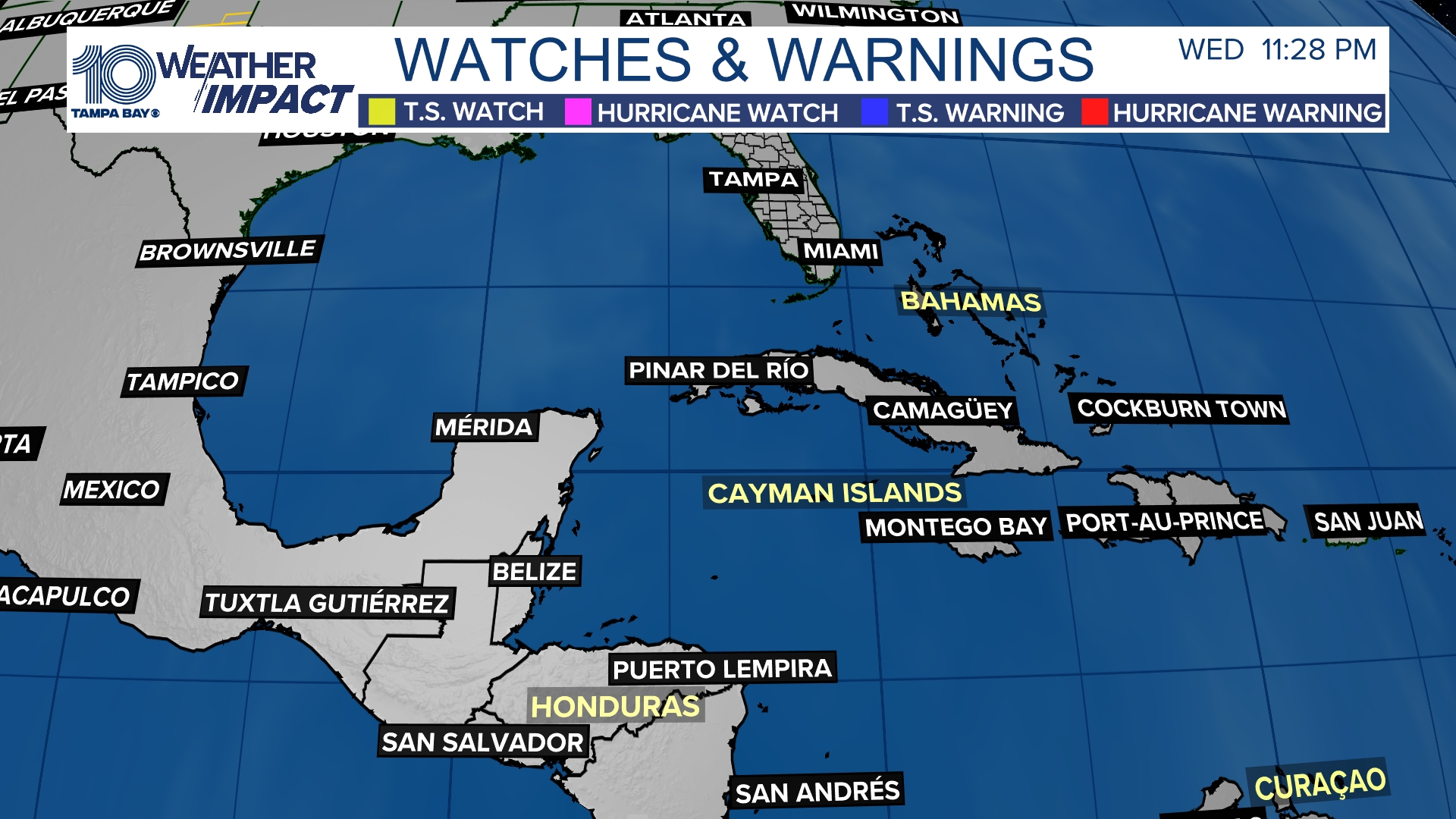
Watches and warnings
What's a watch? What's a warning? Here are the official alerts that can be issued for your area and what you should do.

►Make it easy to keep up-to-date with more stories like this. Download the WHAS11 News app now.
Have a news tip? Email assign@whas11.com, visit our Facebook page or Twitter feed.


