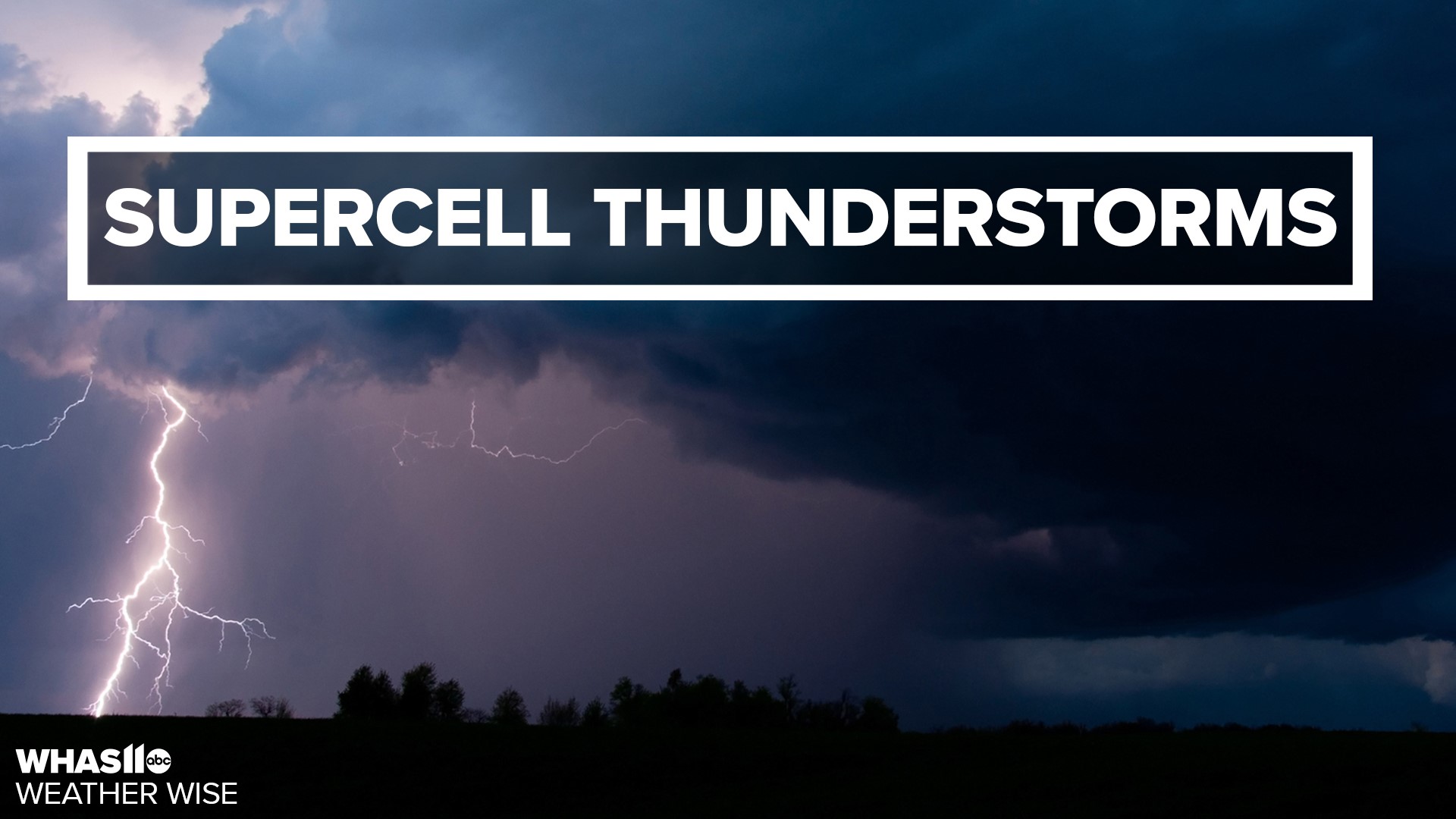
LOUISVILLE, Ky. — Hi everyone! Meteorologist Kaitlynn Fish here with today’s Weather Wise lesson. We’ll be taking a look at supercell thunderstorms.
What is a supercell? Supercells are very large, powerful thunderstorms that are capable of producing tornadoes. They don’t always, but they can.
A cumulonimbus cloud, like this one, is associated with supercells, but there are many different parts of this storm.
First, the updraft. The updraft is an area of fast-rising air that forms the cloud and can reach speeds over 100 miles per hour! Pilots avoid them as they’re dangerous to fly through. (click)
RELATED: Anatomy of a storm: Supercells
Next to the updraft is the downdraft. The downdraft is rain-cooled air that can fall rapidly to the ground and cause damaging winds as well as torrential rain. Pilots also avoid these. (click)
Up here we have the ‘overshooting top.’ It forms when the updraft breaks into a stable region of air known as the ‘tropopause’. It’s the highest point in the supercell. (click)
Below the overshooting top is the anvil. Anvils are large, then clouds that can extend for hundreds of miles downstream. Anvils show us roughly where the top of the troposphere is. (click)
One of the coolest features of a supercell is the presence of mammatus clouds. These clouds look ‘bubbly.’ They are heavy, water-filled clouds and can have turbulent air. (click)
Finally, the ‘flanking line’. This is a line of cumulus clouds that develop next to the supercell and, if conditions are right, can later produce their own rain. (click)
There’s a lot more to supercells than what I’ve mentioned here, so if you’d like to learn more, visit our Storm Team Weather Blog.
That is your weather-wise lesson for today. For WHAS11, I'm meteorologist Kaitlynn Fish.
►Make it easy to keep up-to-date with more stories like this. Download the WHAS11 News app now. For Apple or Android users.
Have a news tip? Email assign@whas11.com, visit our Facebook page or Twitter feed.

