

LOUISVILLE, Ky. — On today's Weather Wise lesson, we're going to talk about a little known term in the weather world.
A virga kind of looks like someone took a big ball of cotton candy and stretched it out from the bottom, or maybe something resembling a jellyfish. What exactly is a virga and how does it form?
Ideally, when a cloud drops precipitation, the air is ‘saturated.’ Saturation basically means the air has reached its maximum water vapor content given the temperature and atmospheric pressure.

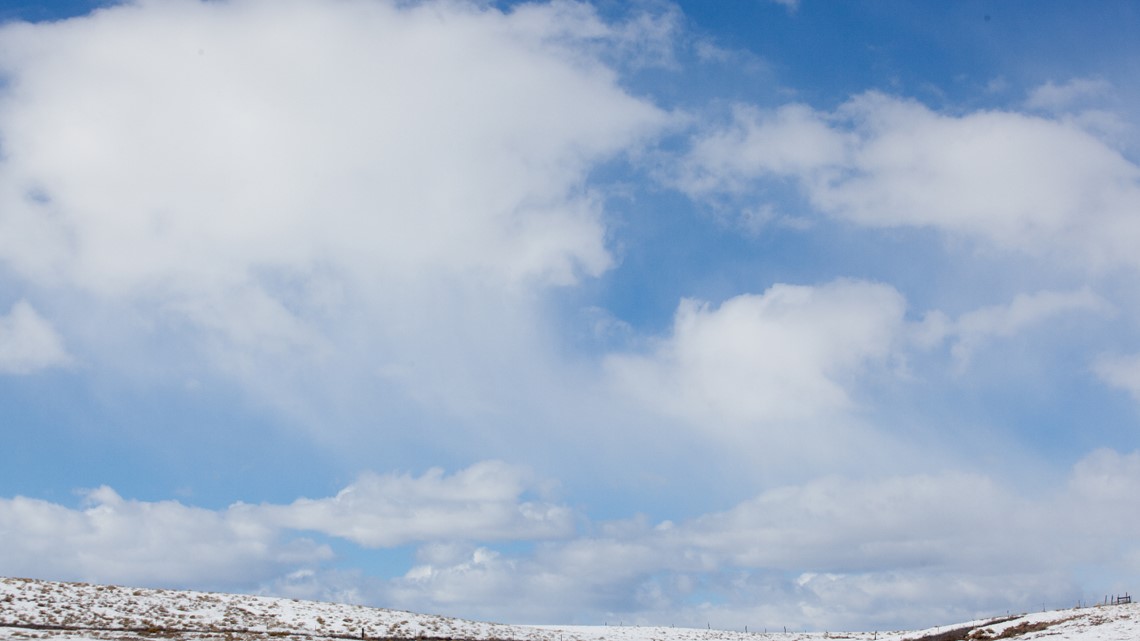
When the air is totally at or near saturation, falling precipitation is able to reach the ground, but that’s not always the case.
If there is a layer of dry air below the clouds, things get tricky. Dry air evaporates precipitation, so now it becomes much more difficult for it to reach the surface.
This is what forms virga and gives it the appearance of stretched cotton candy or a jellyfish.
However! Virga can eventually result in precipitation reaching the ground. Given enough time and moisture, virga can slowly saturate the air. That makes a better environment for future precipitation.
So, the next time you look up in the sky and see these wispy clouds, you’ll know what’s happening!
More Weather Wise:
►Make it easy to keep up-to-date with more stories like this. Download the WHAS11 News app now. For Apple or Android users.
Have a news tip? Email assign@whas11.com, visit our Facebook page or Twitter feed.