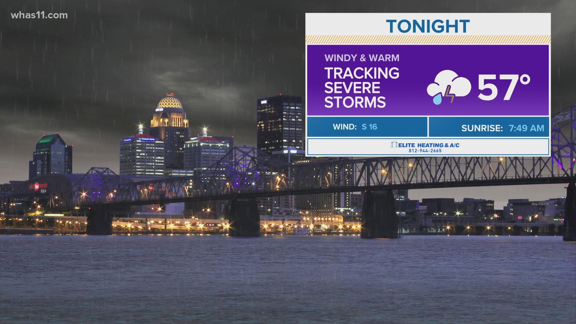
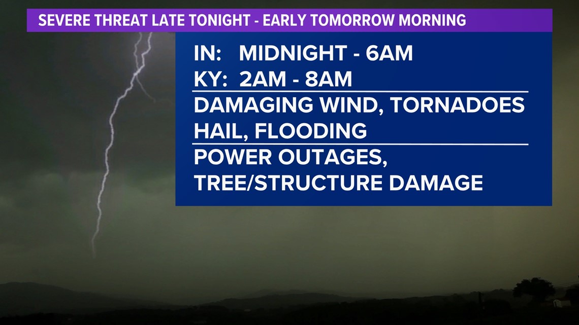
LOUISVILLE, Ky. — A strong storm system is bringing the threat for severe weather across Kentuckiana overnight Friday through Saturday morning. This means numerous severe storms are possible. Storms could producing damaging wind gusts, tornadoes, hail, and flooding. There could be power outages and damage to trees/structures.

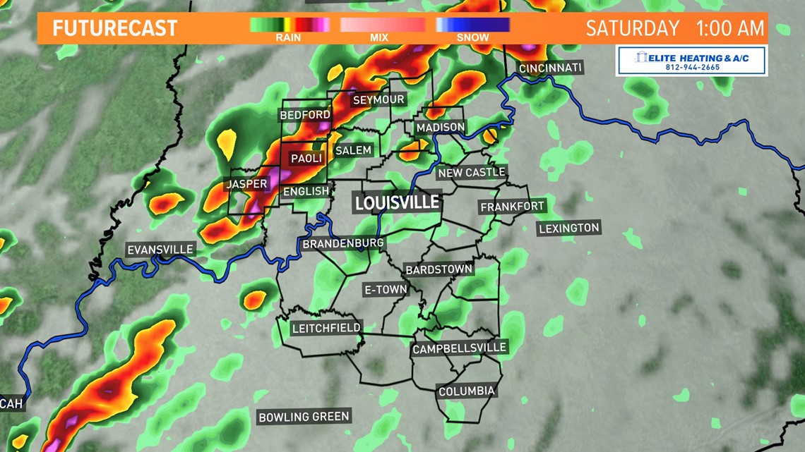
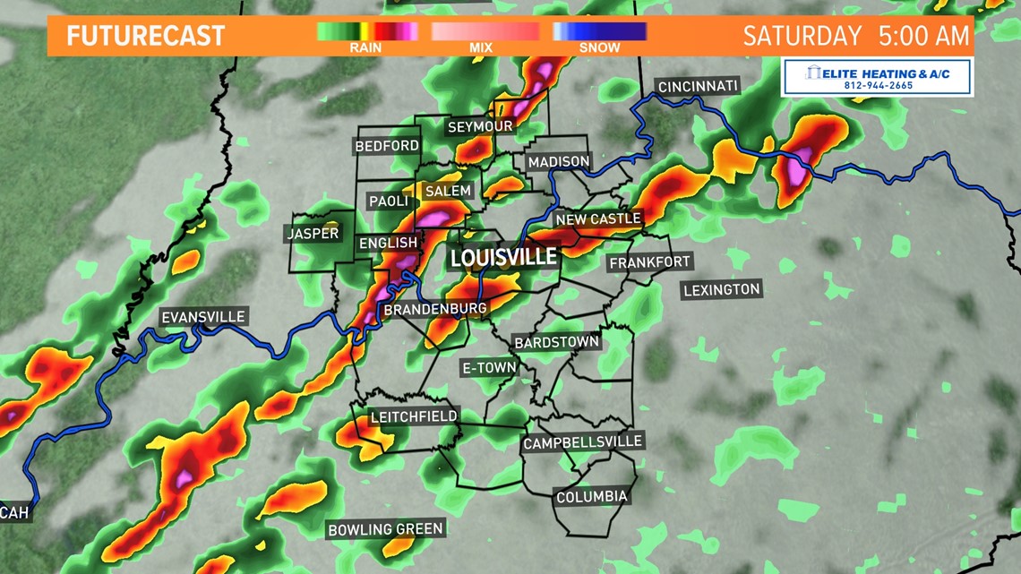
Thunderstorms will begin to develop late Friday evening before intensifying after midnight. The window for severe weather for southern Indiana is around midnight to about 6 A.M.

RELATED: Tornado Safety | Here's what you should do before, during and after a tornado to keep you and your family safe

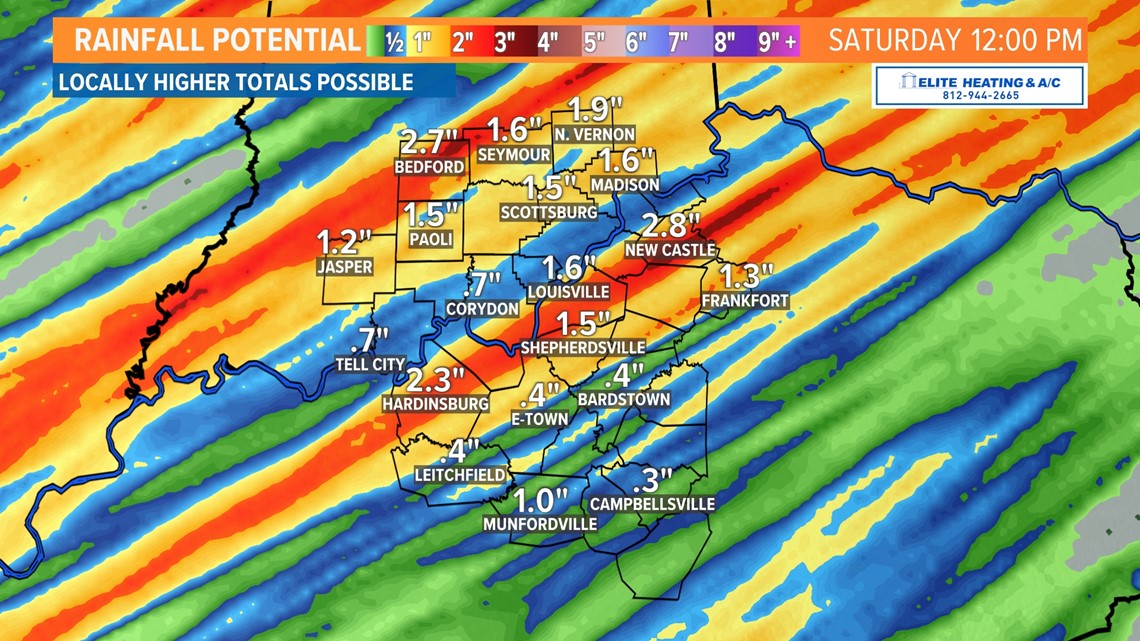
Localized flooding will be possible as areas could pick up between 1" to 3" of rainfall.

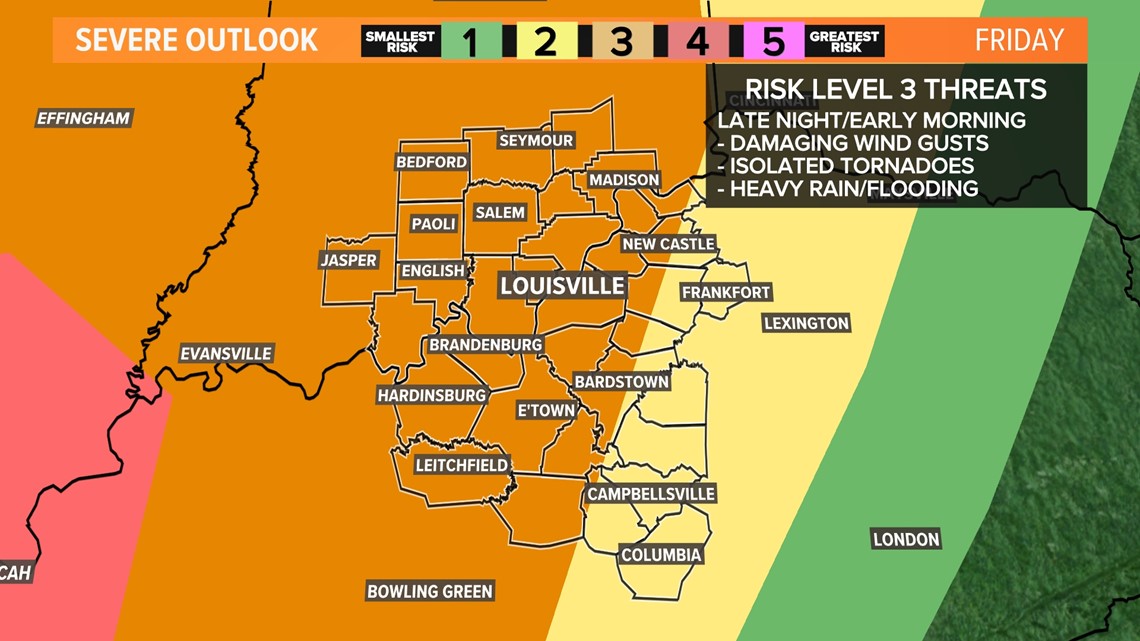
The Storm Prediction Center has majority Kentuckiana under an enhanced risk (level 3 out of 5) for severe weather.
The timing of these storms make them even more dangerous, because they will hit when most people are asleep. Have a way to be woken up by a warning and know where you will take shelter.

