LOUISVILLE, Ky. — The National Weather Service of Louisville has a busy week ahead of itself after severe weather made its way through Kentuckiana on Sunday.
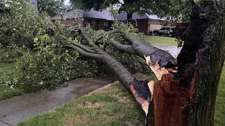
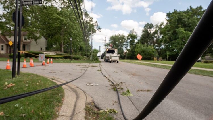
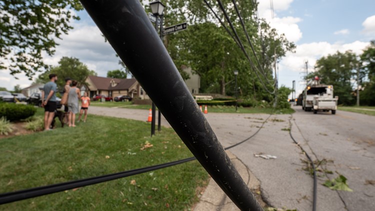
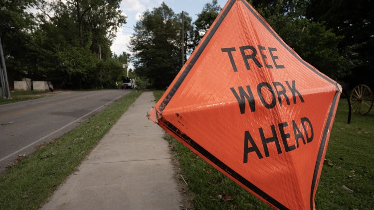
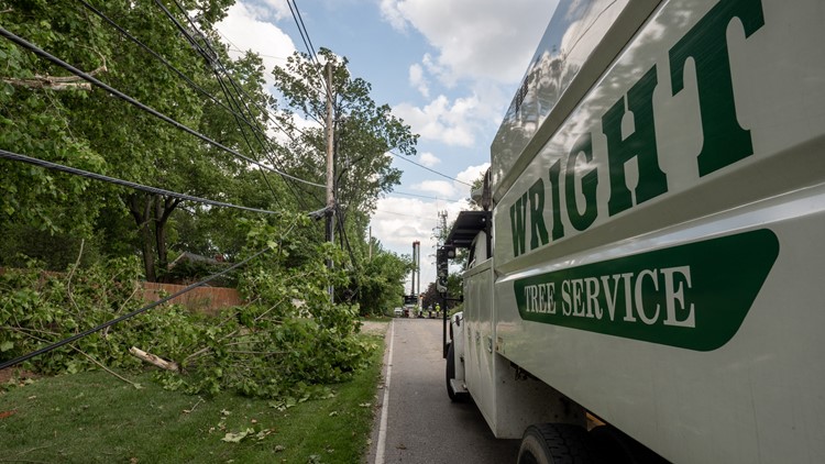
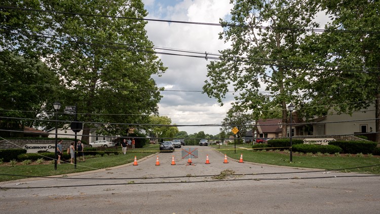
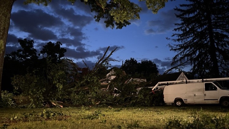
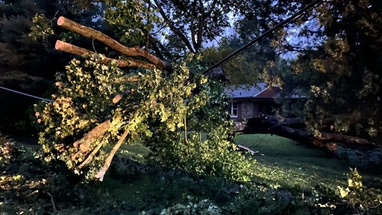
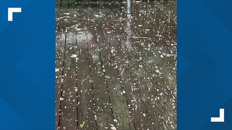
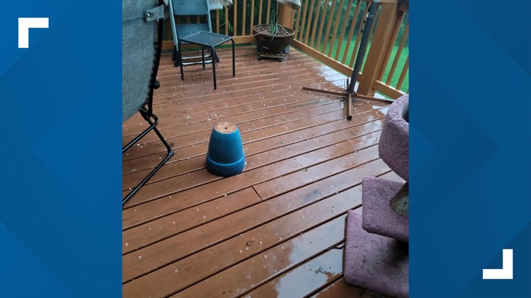
Crews will be out surveying damage after a strong line of storms brought large hail, strong winds and heavy rain to a majority of the WHAS11 viewing area.
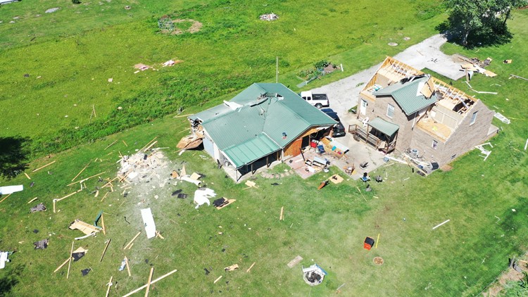
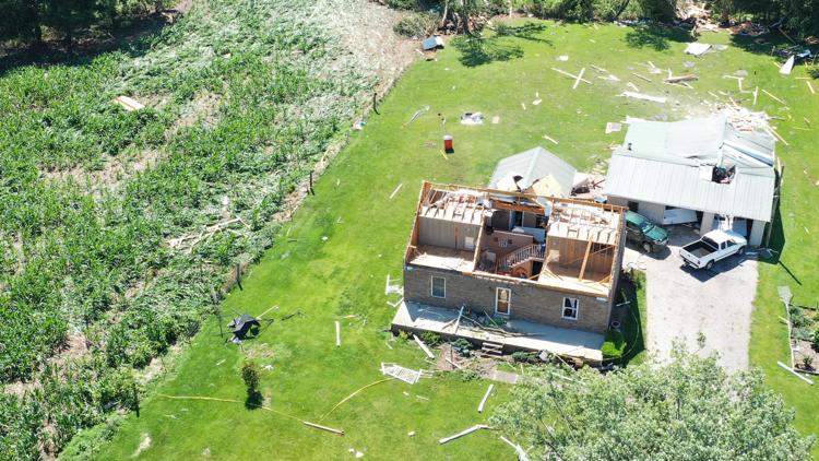
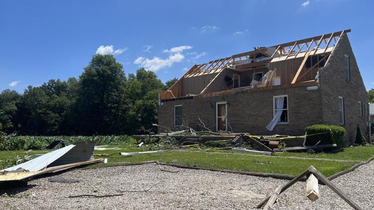
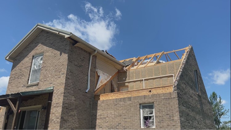
NWS Louisville has confirmed a preliminary EF-2 tornado touched down in Cecilia, Kentucky. That's in Hardin County.
The tornado reportedly had wind speeds around 115 miles per hour.
A second tornado was confirmed just outside our viewing area in Dubois and Martin County. Officials said the tornado was EF-2 strength but weakened to an EF-1 when it reached Dubois County.
Survey crews also found straight-line wind damage in Bullitt County. Those winds were estimated to be about 90-100 miles per hour.
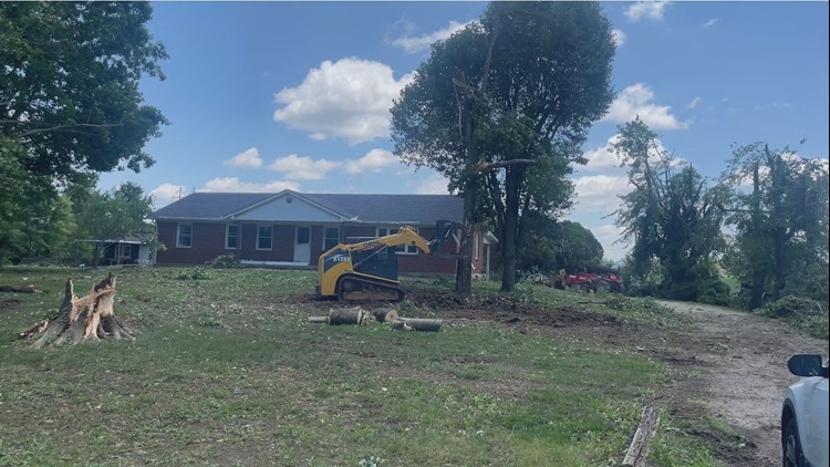
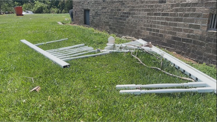
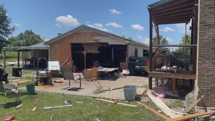
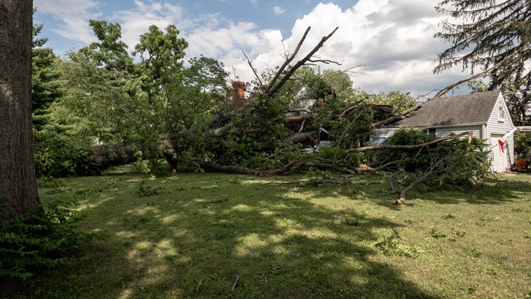
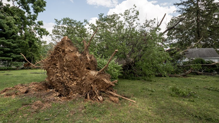
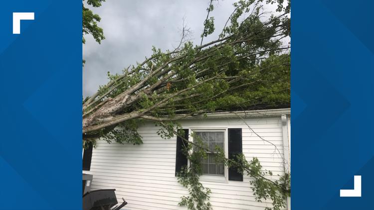
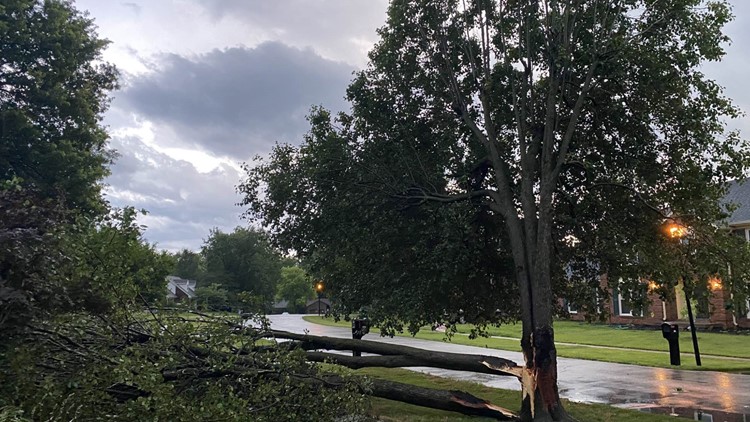
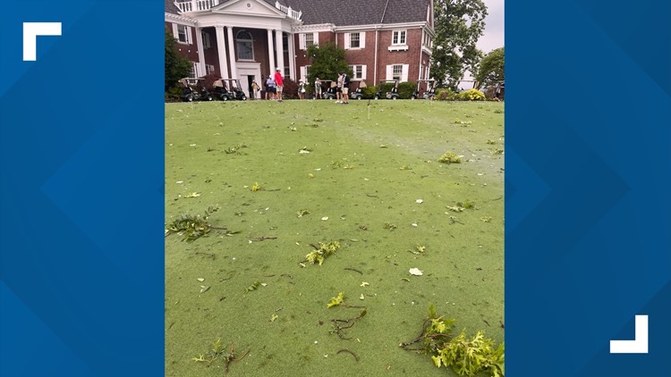
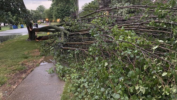
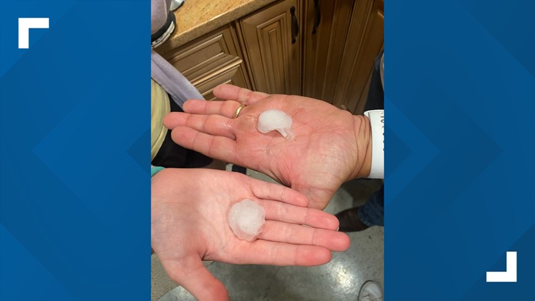
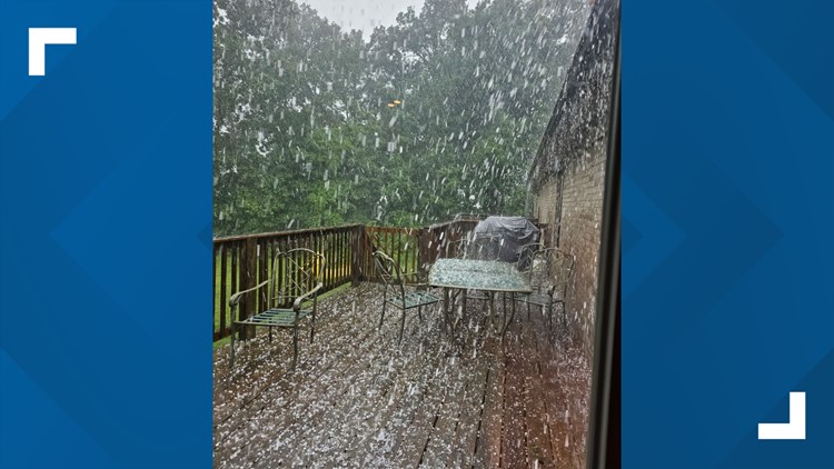
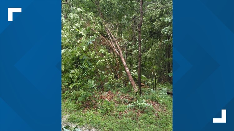
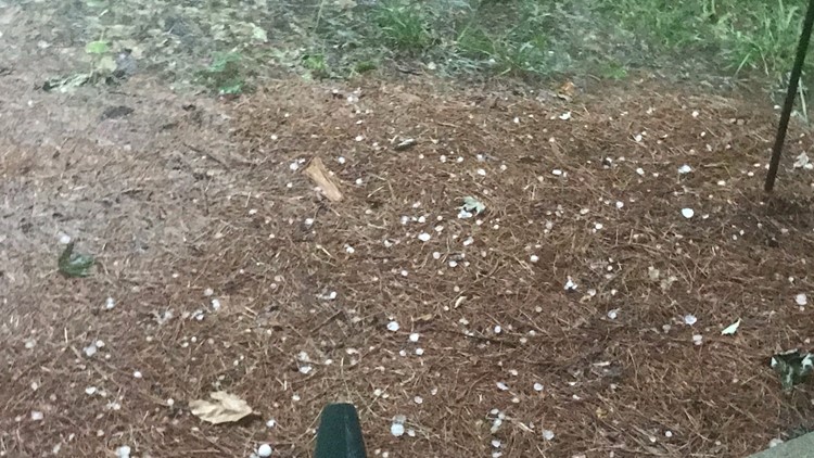
PHOTOS | Storm damage from Sunday's severe weather in Kentuckiana


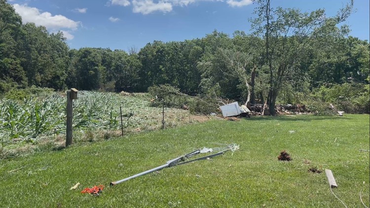


Straight-line wind damage was also found in southern Floyd County, Indiana.
In addition, survey crews found intense straight-line wind damage up to 110 miles per hour, including damage from wind-driven baseball size hail, in Madison County, Kentucky.
NWS Louisville said the damage meets the criteria of a macroburst. The damage path east of Richmond reached widths just over 4 kilometers toward the county line.
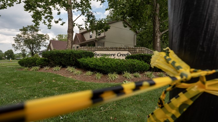
Thousands are still without power after the storms knocked trees over onto homes and powerlines.
In Lyndon, Kentucky one home was crushed after a large tree toppled over due to the strong winds. Thankfully, no injuries have been reported in Kentuckiana.
Crews will continue surveying damage in Warren and Russell Counties.
This story will be updated as more information becomes available.
Make it easy to keep up-to-date with more stories like this. Download the WHAS11 News app now. For Apple or Android users.
Have a news tip? Email assign@whas11.com, visit our Facebook page or Twitter feed.