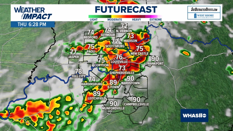
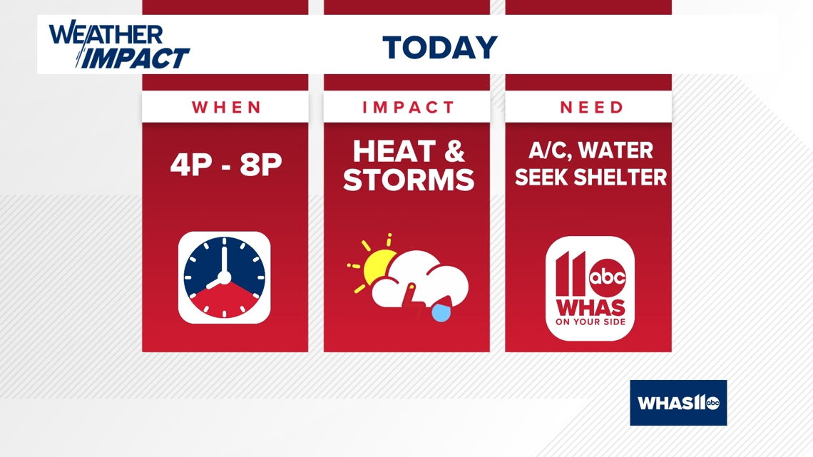
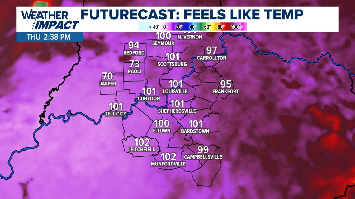
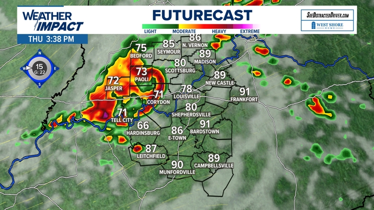
LOUISVILLE, Ky. — Here we go again! Another day with dangerous triple digit heat index temperatures and then a chance of strong to severe thunderstorms.
Before the storms fire up, be ready to battle brutally hot temperatures and tropical humidity levels Thursday afternoon.

HEAT INDEX

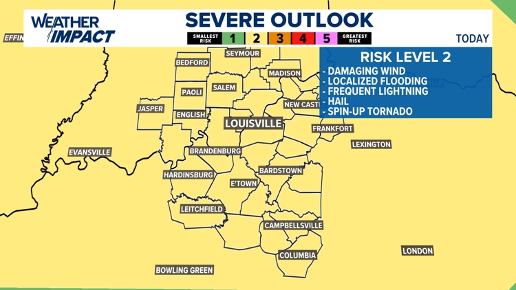
STORMS
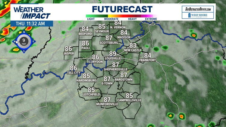
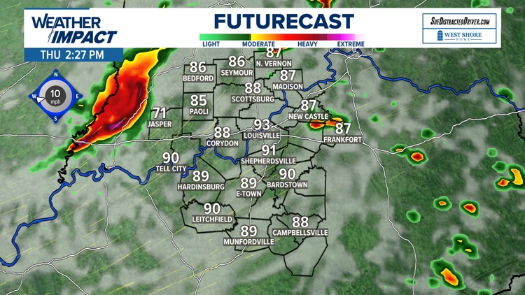
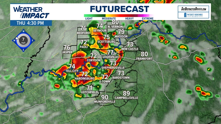
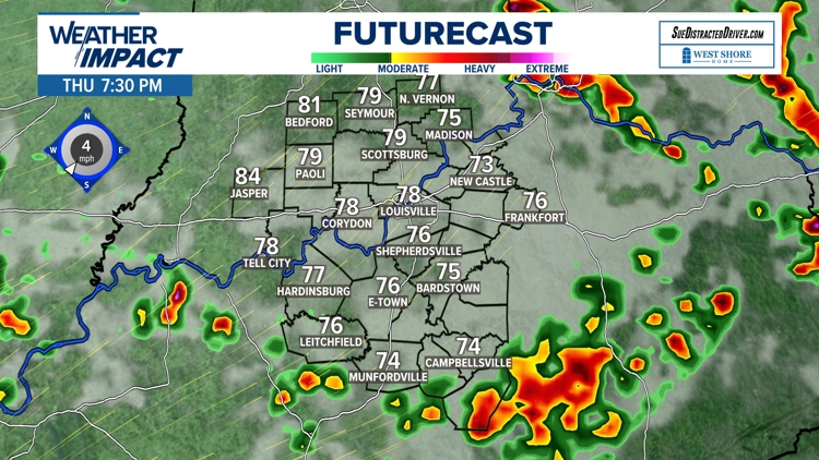
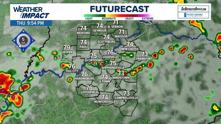
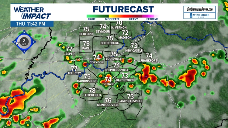
Just like Wednesday afternoon, storms are expected to fire up first in Indiana, then drop south through the evening, with the potential for damaging wind gusts, frequent lightning, and torrential rainfall.
We could once again have scattered power outages and localized flooding to watch out for through Thursday evening.
Shower and storm chances (some severe)


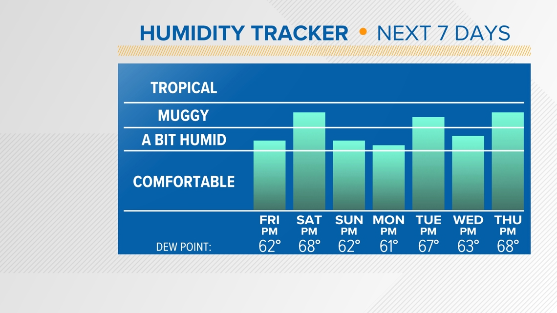
The heat won't be as bad Friday, but pop-up downpours will linger around Kentucky and Indiana. Our weather pattern will settle down with mostly dry conditions this weekend through next week. However, the heat and humidity will not go anywhere through our first week of August.
Even though humidity will not be in the tropical range by any means, it will definitely still stay on the humid side. We are used to it in early August though.