LOUISVILLE, Ky. — Hurricane Francine is expected to be more of a blessing than a curse for Kentucky and parts of southern Indiana, with the hope of bringing beneficial rainfall to the region Thursday night through Friday.
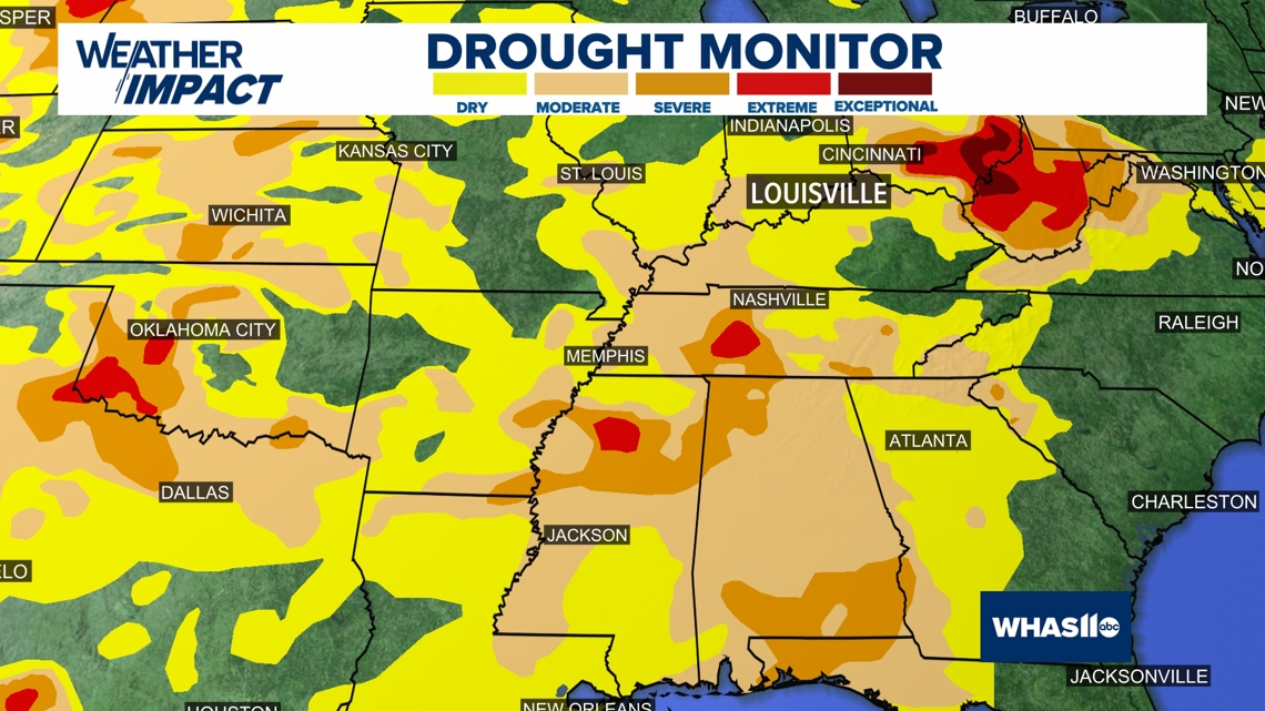
With very little rainfall over the last month and a half, parts of the Ohio Valley and Deep South are under either abnormally dry conditions or worsening drought.


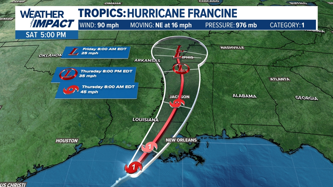
Francine made landfall Wednesday afternoon and here is the latest track from the National Hurricane Center takes the storm to the central coast of Louisiana for a landfall by Wednesday.
RELATED: Hot sunshine Wednesday, Francine remnants late Thursday and Friday | WHAS11 WEATHER IMPACT FORECAST
The storm then quickly weakens moving inland right up the Mississippi River.
These systems this time of year are often known to be "drought busters." Even if the expected rain doesn't erase the drought, it will certainly help.


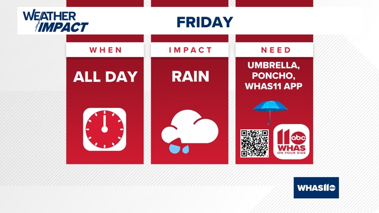
The first sign of Francine will be the increasing clouds Thursday, but the rain showers won't begin until late Thursday night and into Friday morning.
The scattered showers will likely continue through Friday, and possibly linger into Saturday.
This could add up to over an inch of rainfall over much of the area.
Temperatures will be held down a bit with the clouds and rainfall, with highs in the 70s and lower 80s Friday through this weekend.
For the latest weather updates follow Chief Meteorologist Ben Pine on X @WHAS11Ben, Facebook and Instagram.
Continue to stay weather aware and follow the Weather Impact Team's latest forecast.


