LOUISVILLE, Ky. — Helene made landfall late Thursday night as a major Category 4 hurricane in Florida, and now the rest of the southeast will feel the impact Friday.
The extreme outer bands made their way into the Louisville area starting late Thursday night. Heavy rain and strong winds will persist all day Friday, and possibly into Saturday.
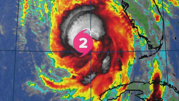
As the storm develops, you can follow its path below with WHAS11 interactive radar tools.
Helene underwent a rapid intensification leading up to landfall late Thursday near Apalachicola. Helene produced winds of 130 mph, causing catastrophic storm surge along the Florida Coast, especially in the Big Bend region.
Helene was upgraded to a Category 2 about noon Thursday. It became a Category 4 storm around 6:30 p.m. on Thursday.
Helene was still a Cat 4 at midnight. According to CNN, 1 million people were without power.
By Friday on 7 a.m., Helene was downgraded to a tropical storm with maximum sustained winds of 70 mph over Georgia.
Interactive Helene radar
Helene impacts in Louisville area
Steady-to-heavy bands of rain will approach from southeast to northwest throughout the late night hours Thursday night and through the day Friday.
Between 2-4 inches of rain is in the forecast along the Ohio River, including the Louisville area, with several locations south of the Bluegrass and Western Kentucky Parkways collecting 2.5-4.5 inches of rain.
Flooding will be a possibility with the heaviest bands of rainfall. Keep in mind that the wind will also be strong, so rain will be falling sideways. Wind gusts could reach 40-50 mph locally.
Visibility will be reduced and there will be ponding of water on roadways. Always remember: slow down, turn around and don't drown.
Wind gusts remain a big story with the remnants of powerful Helene eyeballing central Kentucky and southern Indiana. Wind gusts will easily range from 30-40 mph, and possibly briefly topping 45 mph. Sustained wind and wind gusts of this caliber will make for power outages in some locations.
Make sure your phones, laptops, and other appliances are charged up in the event you lose power.